Wind Cave National Park
Lookout Point Trail loop
I had run into descriptions of the trails on this hike over the years and never really had the sense that it had all that much to offer.
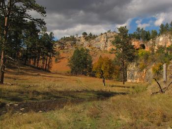
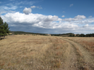
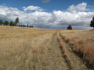
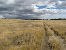
When I eventually decided to hike this trail, I was slowed down by bison encounters to the point where I had to turn back or risk an encounter in the dark. Finally this year my son and I made the entire loop, and I was astounded at the beauty that surrounded us as we walked across the high rolling prairie and then descended into the canyon.
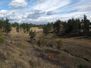
This is a quiet scenic hike with long and interesting views.
- Approach
-
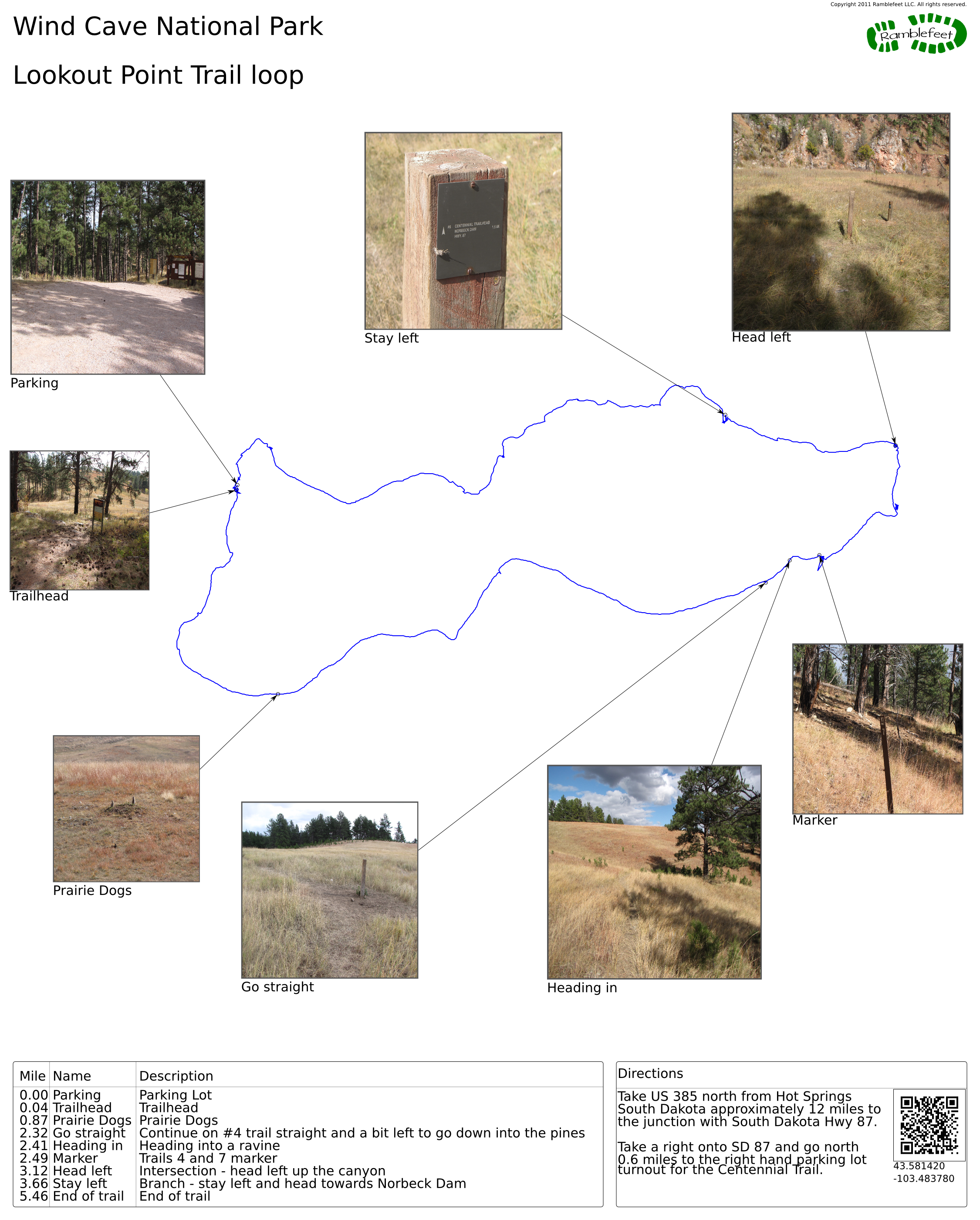
Take US 385 north from Hot Springs South Dakota approximately 12 miles to the junction with South Dakota Hwy 87.
Take a right onto SD 87 and go north 0.6 miles to the right hand parking lot turnout for the Centennial Trail.
Coordinates for the hike: 43.5814200,-103.4837800
- Parking / Trailhead amenities
- The gravel parking lot has room for a half dozen cars or so. There is an informational kiosk and no other facilities in the parking lot.
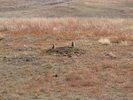
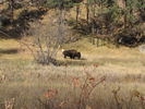
Keep an eye out as you prepare for your hike - bison have been known to wander through. - Trail observations
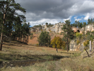
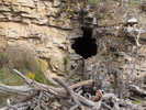
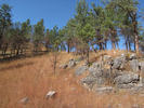
- Lookout trail leaves the parking area from the right hand side as you face the kiosk. The trail descends to cross a stream, and then climbs the far side to a high meadow. After a long walk, the trail reaches a junction and then descends into the canyon. Follow the canyon back to the trailhead. You will be on Centennial trail for the last couple miles of the hike.
Every time I've been on this trail I've seen bison. Stay aware of your surroundings, and be prepared to either wait for the bison to move, or to take a detour around the bison. Give yourself a lot of room - don't get too close! - Trail statistics
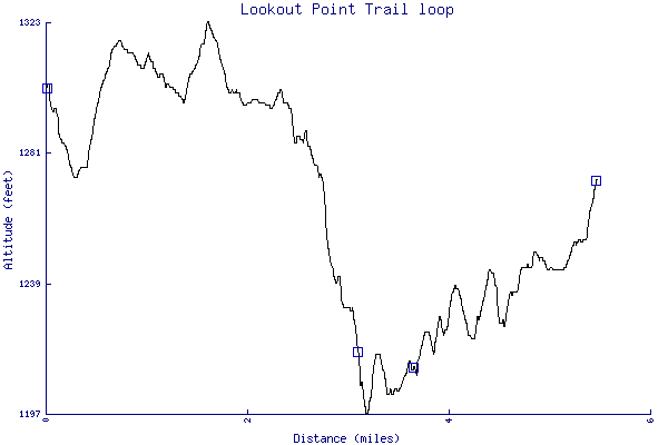
- The trail is 5.46 miles long. The sum of all the uphill climbs is 290 feet.
- Trail waypoints
0.00 mi Parking Parking Lot 0.04 mi Trailhead Trailhead 0.87 mi Prairie Dogs Prairie Dogs 2.32 mi Go straight Continue on #4 trail straight and a bit left to go down into the pines 2.41 mi Heading in Heading into a ravine 2.49 mi Marker Trails 4 and 7 marker 3.12 mi Head left Intersection - head left up the canyon 3.66 mi Stay left Branch - stay left and head towards Norbeck Dam 5.46 mi End of trail End of trail


- Keywords
- Difficulty: Easy
- Terrain: Canyon
- Terrain: Hilly
- Trail surface: Dirt
- Trail surface: Grassy
- Type: Loop
- View: Open
- View: Wooded
- County:
- State: South Dakota
- Country: United States of America
- Resources
- Printable trail map in PDF format (20 Mb download)
- Printable trail map in PNG format (3 Mb download)
- Waypoints in CSV format
- Waypoints in KML format
- Instructions on using a trail description page
- Instructions on using a trail map printout
- Trails in the surrounding area
- Trailheads for Montana South Dakota, and Wyoming (2 additional trails)
- Trailheads for Montana North Dakota, South Dakota, and Wyoming (5 additional trails)
- Trailheads for Nebraska South Dakota, and Wyoming (2 additional trails)
- Trailheads for Nebraska South Dakota, and Wyoming (5 additional trails)
Copyright © 2011 RambleFeet LLC. All rights reserved.