Wildcat Mountain State Park
Old Settler's Trail
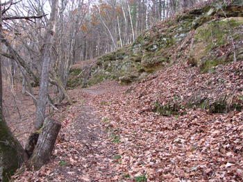
The Old Settlers Trail is a pleasant easy hike in a beautiful area of Wisconsin.
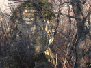
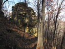
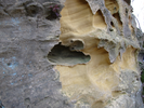
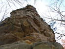
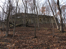
Wildcat Mountain State Park has long overlooks of the Kickapoo River and lots of space to enjoy the beauty and quiet that so characterizes this place.
- Approach
-
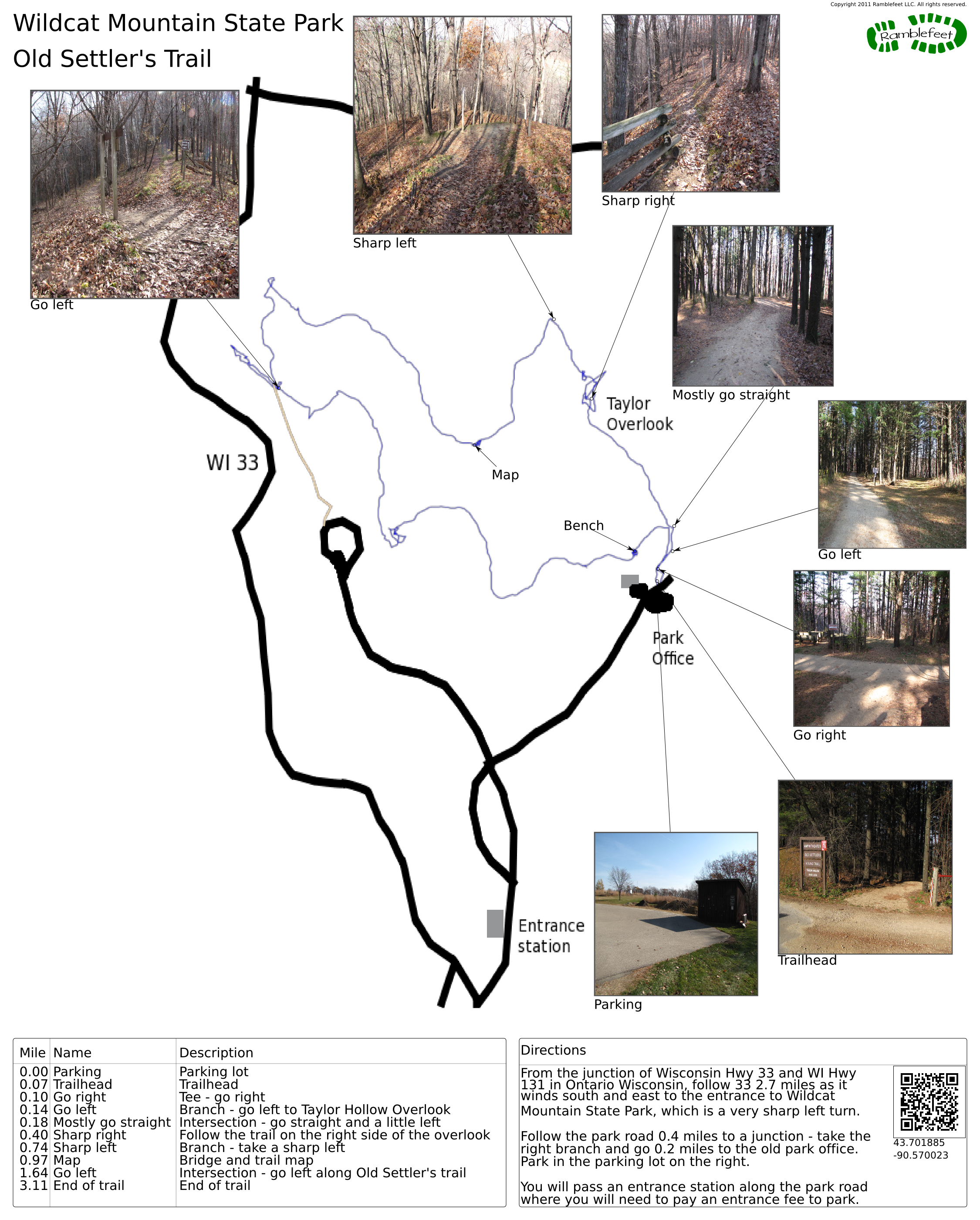
From the junction of Wisconsin Hwy 33 and WI Hwy 131 in Ontario Wisconsin, follow 33 2.7 miles as it winds south and east to the entrance to Wildcat Mountain State Park, which is a very sharp left turn.
Follow the park road 0.4 miles to a junction - take the right branch and go 0.2 miles to the old park office. Park in the parking lot on the right.
You will pass an entrance station along the park road where you will need to pay an entrance fee to park.
Coordinates for the hike: 43.7018850,-90.5700230
- Parking / Trailhead amenities
- The paved parking lot is large and level. There is water and a soda machine near the parking lot. Pit toilets as well as indoor toilets can be found along the park road.
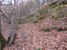
- Trail observations
- The trailhead can be found across the road from the parking lot. The trail is well marked and maintained. It would be really hard to get lost on this short and fun hike.
- Trail statistics
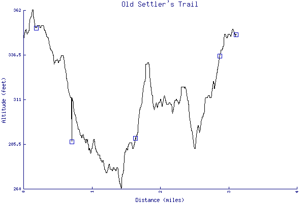
- The trail is 3.11 miles long. The sum of all the uphill climbs is 242 feet.
- Trail waypoints
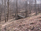
0.00 mi Parking Parking lot 0.07 mi Trailhead Trailhead 0.10 mi Go right Tee - go right 0.14 mi Go left Branch - go left to Taylor Hollow Overlook 0.18 mi Mostly go straight Intersection - go straight and a little left 0.40 mi Sharp right Follow the trail on the right side of the overlook 0.74 mi Sharp left Branch - take a sharp left 0.97 mi Map Bridge and trail map 1.64 mi Go left Intersection - go left along Old Settler's trail 2.87 mi Bench 3.11 mi End of trail End of trail


- Keywords
- Difficulty: Easy
- Terrain: Hilly
- Trail surface: Dirt
- Type: Loop
- View: Overlooks
- View: Wooded
- County: Vernon
- State: Wisconsin
- Country: United States of America
- Links
- Wisconsin DNR park site
- PDF map of the entire park
- Great site detailing another way to explore Wildcat Mountain
- Resources
- Printable trail map in PDF format (21 Mb download)
- Printable trail map in PNG format (3 Mb download)
- Waypoints in CSV format
- Waypoints in KML format
- Instructions on using a trail description page
- Instructions on using a trail map printout
- Trails in the surrounding area
- Trailheads for Iowa Michigan, Minnesota, and Wisconsin (6 additional trails)
- Trailheads for Michigan and Wisconsin (1 additional trail)
- Trailheads for Illinois Iowa, Minnesota, and Wisconsin (8 additional trails)
- Trailheads for Illinois Iowa, and Wisconsin (2 additional trails)
Copyright © 2011 RambleFeet LLC. All rights reserved.