Petit Jean State Park
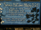
Seven Hollows Trail
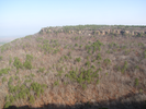
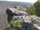
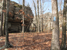
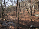
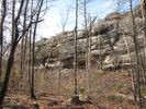
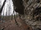
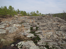
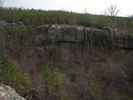
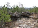
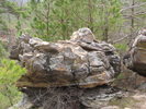
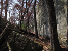
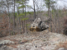
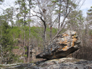
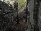
Seven Hollows is an amazing hike. There are a variety of things to see - hollows, streams, waterfalls, rock formations and more, all in a peaceful quiet setting.
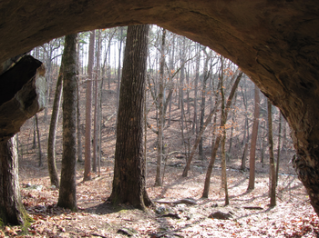
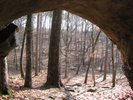
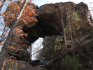
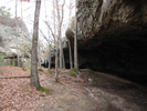
At the far end of the hike is a place appropriately named the grotto - the first time I visited I was enchanted with the scenery, and as I contemplated all there was to see, I realized the waterfall had an amazing resonance. That realization led me into an impromptu concert, singing all the songs I could remember. The acoustics in the grotto are astounding - if you sing, you have found paradise.
- Approach
-
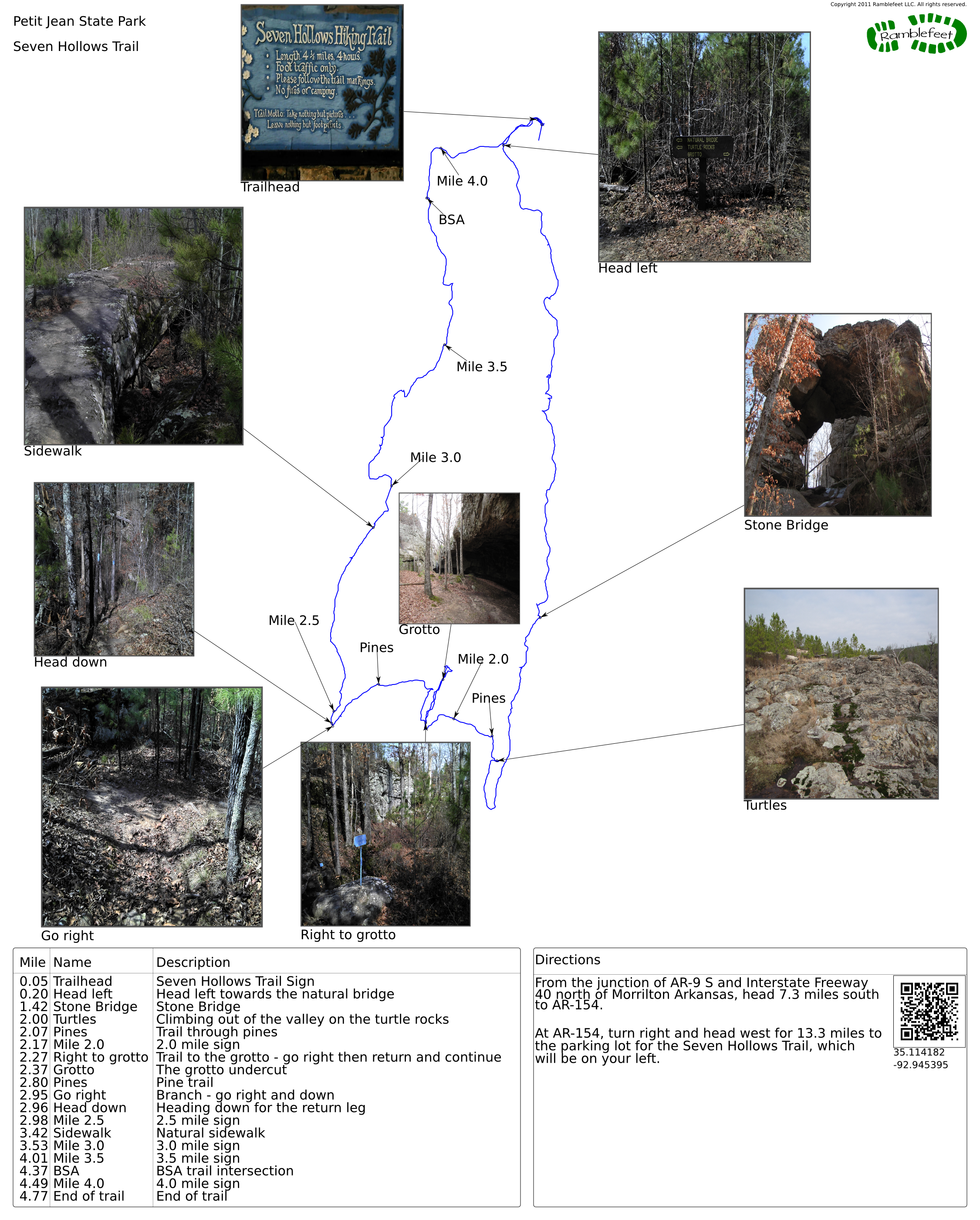
From the junction of AR-9 S and Interstate Freeway 40 north of Morrilton Arkansas, head 7.3 miles south to AR-154.
At AR-154, turn right and head west for 13.3 miles to the parking lot for the Seven Hollows Trail, which will be on your left.
Coordinates for the hike: 35.1141820,-92.9453950
- Parking / Trailhead amenities
- The gravel parking lot is level and has room for a fair number of cars. There are no facilities of any kind at the trailhead. There is a sign that advises locking valuables in the trunk.
- Trail observations
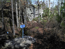
- The trail starts near the trailhead sign, then quickly branches. Head left and follow the loop clockwise. The BSA trail joins Seven Hollows Trail near the end - be sure to stay on the Seven Hollows Trail.
The trail can be muddy and is often rocky and uneven, though in general the walking conditions are good. - Trail statistics
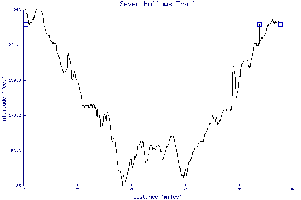
- The trail is 4.77 miles long. The sum of all the uphill climbs is 291 feet.
- Trail waypoints
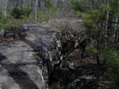
0.05 mi Trailhead Seven Hollows Trail Sign 0.20 mi Head left Head left towards the natural bridge 1.42 mi Stone Bridge Stone Bridge 2.00 mi Turtles Climbing out of the valley on the turtle rocks 2.07 mi Pines Trail through pines 2.17 mi Mile 2.0 2.0 mile sign 2.27 mi Right to grotto Trail to the grotto - go right then return and continue 2.37 mi Grotto The grotto undercut 2.80 mi Pines Pine trail 2.95 mi Go right Branch - go right and down 2.96 mi Head down Heading down for the return leg 2.98 mi Mile 2.5 2.5 mile sign 3.42 mi Sidewalk Natural sidewalk 3.53 mi Mile 3.0 3.0 mile sign 4.01 mi Mile 3.5 3.5 mile sign 4.37 mi BSA BSA trail intersection 4.49 mi Mile 4.0 4.0 mile sign 4.77 mi End of trail End of trail
- Keywords
- Difficulty: Moderate
- Feature: Waterfall
- Terrain : Hilly
- Trail surface: Dirt
- Trail surface: Rock
- Type: Loop
- View: Enclosed
- View: Wooded
- County: Conway
- State: Arkansas
- Country: United States of America
- Resources
- Printable trail map in PDF format (12 Mb download)
- Printable trail map in PNG format (4 Mb download)
- Waypoints in CSV format
- Waypoints in KML format
- Instructions on using a trail description page
- Instructions on using a trail map printout
- Trails in the surrounding area
- Trailheads for Arkansas Missouri, and Oklahoma (No additional trails)
- Trailheads for Arkansas Mississippi, Missouri, and Tennessee (No additional trails)
- Trailheads for Arkansas Louisiana, Oklahoma, and Texas (No additional trails)
- Trailheads for Arkansas Louisiana, Mississippi, and Tennessee (No additional trails)
Copyright © 2011 RambleFeet LLC. All rights reserved.