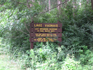
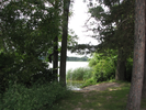
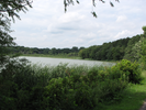
Lake Vadnais
Land Between the Lakes

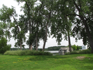
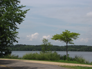
On the hottest days, when the breeze is weak and the biting flies and mosquitoes have taken over the woods and prairies, I satisfy my need for the outdoors by walking the narrow roadway that follows a strip of land along Lake Vadnais.
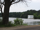
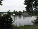
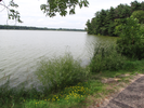
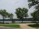
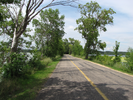
The traffic on the roadway goes very slowly, and the hiking and biking path is wide. Lake Vadnais is a reservoir for the St. Paul water department. The lakes are pristine with no water traffic allowed.
There are often egrets, herons, ducks, geese, swans, terns, gulls, and pelicans in the water. The liquid trill of blackbird and the pleasant chirp of frog and toad fill the air.
This is place of cool breezes and quiet contemplation, of conversation with the languid folk fishing along the roadway, and pleasant smiles shared with passersby.
- Approach
-
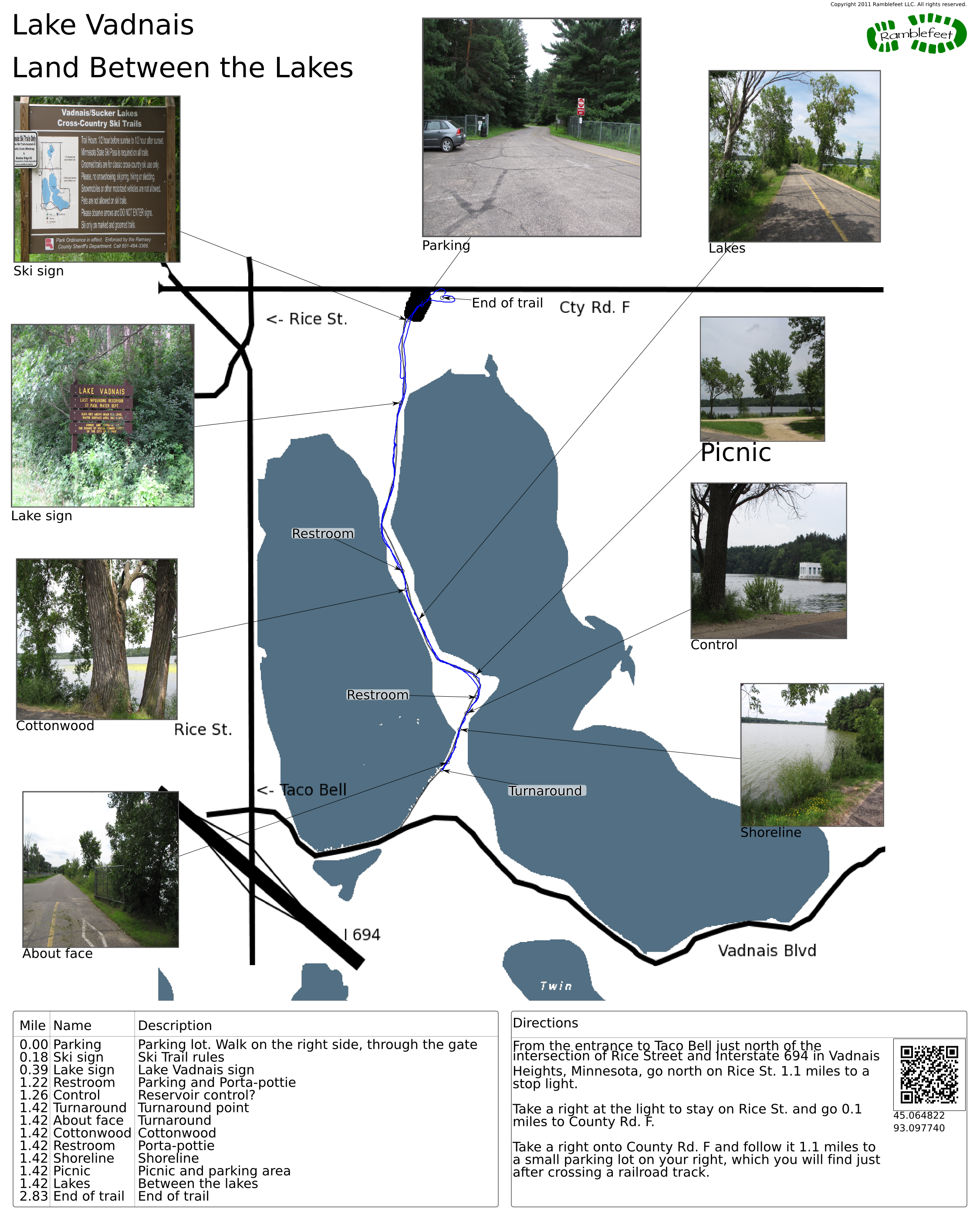
From the entrance to Taco Bell just north of the intersection of Rice Street and Interstate 694 in Vadnais Heights, Minnesota, go north on Rice St. 1.1 miles to a stop light.
Take a right at the light to stay on Rice St. and go 0.1 miles to County Rd. F.
Take a right onto County Rd. F and follow it 1.1 miles to a small parking lot on your right, which you will find just after crossing a railroad track.
Coordinates for the hike: 45.0648220,-93.0977400
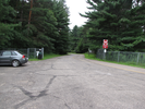
- Parking / Trailhead amenities
- The parking lot is small and only has room for a few cars. There are no facilities at the parking lot, though there are porta-potties along the trail.
Note that there is a roadway that enters the parking lot from the far end of where you entered. This is a one-way road, so be sure not to drive down it! - Trail observations
- The trail exits directly from the small parking lot through the gate. You will be walking on a wide pedestrian path on the right side of the one way road.
On the walk out, you will be facing the cars as they drive on the road. This is nothing to worry about as the speed limit is 10mph, and cars often go slower than that as the road is bumpy and the scenery is worth slowing down for.
The trail is an out-and-back. When you reach the gate at the far end of the road, turn around and come back to the parking lot. - Trail statistics
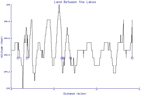
- The trail is 2.83 miles long. The sum of all the uphill climbs is 60 feet.
- Trail waypoints
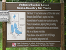
0.00 mi Parking Parking lot. Walk on the right side, through the gate 0.18 mi Ski sign Ski Trail rules 0.39 mi Lake sign Lake Vadnais sign 1.22 mi Restroom Parking and Porta-pottie 1.26 mi Control Reservoir control? 1.42 mi Turnaround Turnaround point 1.42 mi About face Turnaround 1.42 mi Cottonwood Cottonwood 1.42 mi Restroom Porta-pottie 1.42 mi Shoreline Shoreline 1.42 mi Picnic Picnic and parking area 1.42 mi Lakes Between the lakes 2.83 mi End of trail End of trail
- Keywords
- Difficulty: Easy
- Terrain : Flat
- Trail surface: Paved
- Type: Out-and-back
- View: Open
- View: Shoreline
- County: Ramsey
- State: Minnesota
- Country: United States of America
- Resources
- Printable trail map in PDF format (19 Mb download)
- Printable trail map in PNG format (3 Mb download)
- Waypoints in CSV format
- Waypoints in KML format
- Instructions on using a trail description page
- Instructions on using a trail map printout
- Trails in the surrounding area
- Area map for Minnesota, North Dakota, South Dakota, and Wisconsin (No additional trails)
- Area map for Minnesota and Wisconsin (1 additional trail)
- Area map for Minnesota, North Dakota, South Dakota, and Wisconsin (6 additional trails)
- Area map for Iowa, Minnesota, and Wisconsin (6 additional trails)
Copyright © 2011 RambleFeet LLC. All rights reserved.