Hocking Hills State Park
Old Mans Cave to Cedar Falls
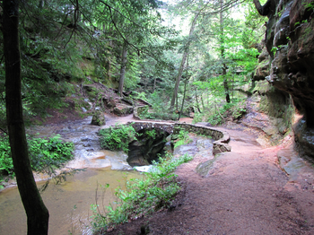
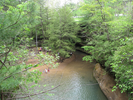
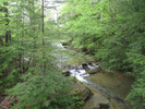
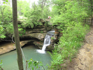
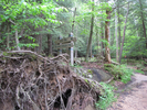
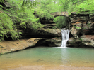
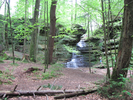
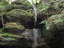
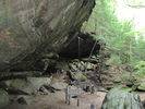
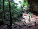
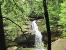
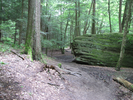
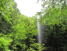
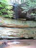
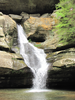
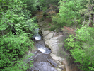
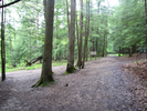
Traveling through the gorge from Old Mans Cave to Cedar Falls is a cornucopia of treats - alcoves with water falling free, cliff house caves overlooking rapids, waterfalls both big and small, and a delicious assortment of tall trees, bushes, flowers and plants.
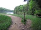
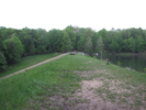
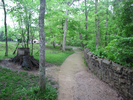
The return along the Overlook trail is easy with a few highlights - some nice views into the gorge and crossing a dam.
This is an amazing hike, well worth taking!
- Approach
-
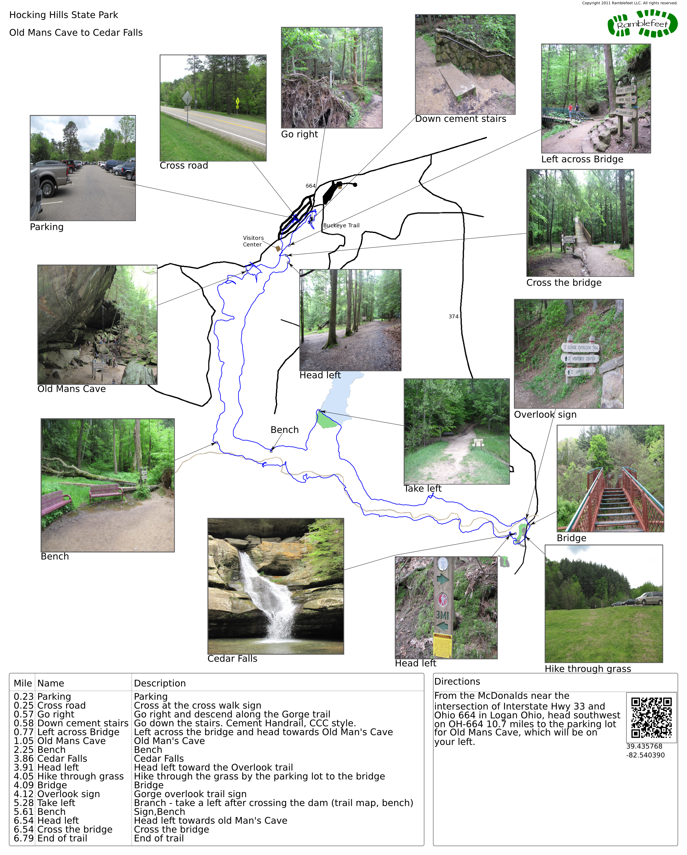
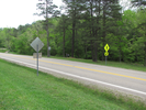
From the McDonalds near the intersection of Interstate Hwy 33 and Ohio 664 in Logan Ohio, head southwest on OH-664 10.7 miles to the parking lot for Old Mans Cave, which will be on your right.
Coordinates for the hike: 39.4357680,-82.5403900
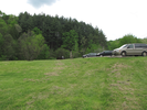
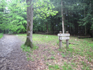
- Parking / Trailhead amenities
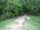
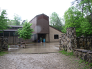
- The parking lot is paved, smooth, and enormous. There are restrooms and other facilities at the visitors center, across the road from the parking log.
- Trail observations
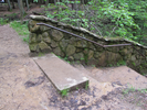
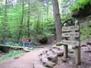
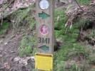
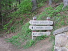
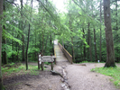
- The trailhead starts across the road from the parking lot at the bridge that crosses over the waterfall. On the far side of the bridge, take a right, then another right and descend into the gorge along a stone stairway. After viewing the falls, start following the trail downstream towards Old Mans Cave and the lower falls.
From Old Mans Cave, continue heading down the gorge till you reach Cedar Falls. At Cedar Falls, follow the trail to the Cedar Falls Parking Lot, then pick up the Overlook trail and return to the parking lot via the Visitors Center. - Trail statistics
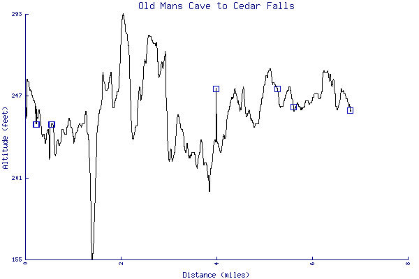
- The trail is 6.79 miles long. The sum of all the uphill climbs is 623 feet.
- Trail waypoints
0.23 mi Parking Parking 0.25 mi Cross road Cross at the cross walk sign 0.57 mi Go right Go right and descend along the Gorge trail 0.58 mi Down cement stairs Go down the stairs. Cement Handrail, CCC style. 0.77 mi Left across Bridge Left across the bridge and head towards Old Man's Cave 1.05 mi Old Mans Cave Old Man's Cave 2.25 mi Bench Bench 3.86 mi Cedar Falls Cedar Falls 3.91 mi Head left Head left toward the Overlook trail 4.05 mi Hike through grass Hike through the grass by the parking lot to the bridge 4.09 mi Bridge Bridge 4.12 mi Overlook sign Gorge overlook trail sign 5.28 mi Take left Branch - take a left after crossing the dam (trail map, bench) 5.61 mi Bench Sign,Bench 6.54 mi Head left Head left towards old Man's Cave 6.54 mi Cross the bridge Cross the bridge 6.79 mi End of trail End of trail


- Keywords
- Difficulty: Moderate
- Feature: Waterfall
- Trail surface: Dirt
- Trail surface: Gravel
- Type: Loop
- View: Enclosed
- County: Hocking
- State: Ohio
- Country: United States of America
- Links
- Ohio DNR site
- Map of Cedar Falls' area
- Hocking Hills Trip Planner
- Map of Old Man's Cave area
- Excellent writeup of this hike!
- Resources
- Printable trail map in PDF format (37 Mb download)
- Printable trail map in PNG format (5 Mb download)
- Waypoints in CSV format
- Waypoints in KML format
- Instructions on using a trail description page
- Instructions on using a trail map printout
- Trails in the surrounding area
- Trailheads for Indiana Kentucky, Michigan, and Ohio (No additional trails)
- Trailheads for Kentucky Ohio, and West Virginia (No additional trails)
- Trailheads for Kentucky Ohio, Virginia, and West Virginia (No additional trails)
Copyright © 2011 RambleFeet LLC. All rights reserved.