Buffalo National River
Lost Valley Trail
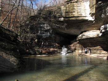
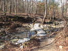
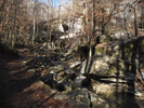
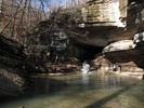
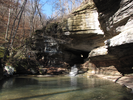
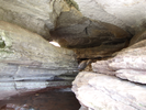
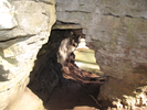
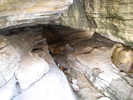
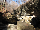
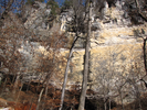
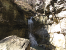
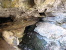
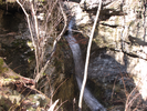
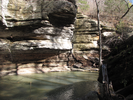
Lost Valley Trail is a short hike into an ever narrowing canyon. Along the way you will find a natural bridge with a stream flowing through it in a tortuous water course, an incredibly high sheer bluff, a beautiful waterfall and a deep cave high up the canyon wall.
I wanted to explore the cave when I visited because there is a waterfall 100 feet inside, but the footing was too slippery for the shoes I was wearing and I was a little nervous to be exploring the cave alone.
This is a wonderful hike - both fun and scenic!
- Approach
-
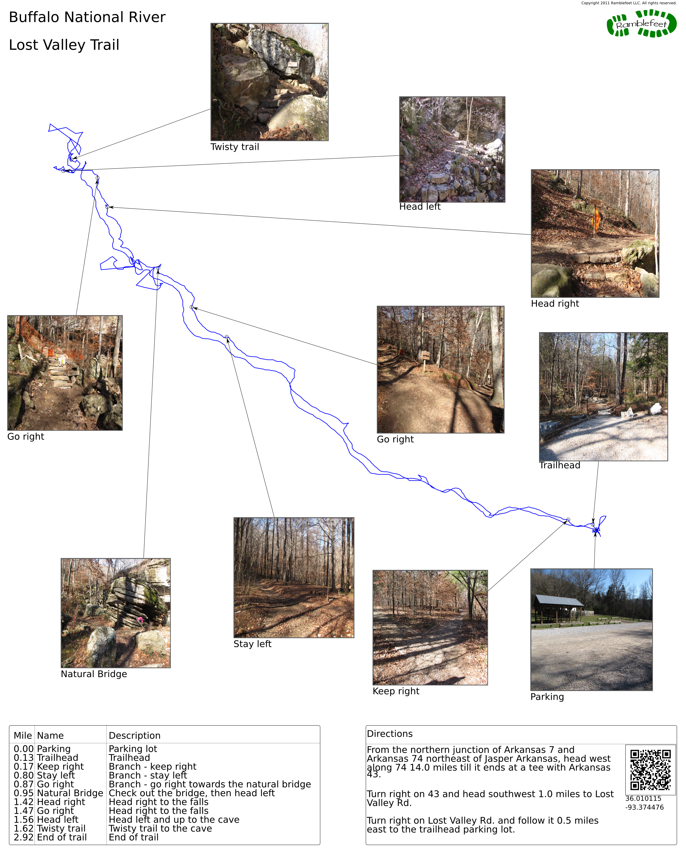
From the northern junction of Arkansas 7 and Arkansas 74 northeast of Jasper Arkansas, head west along 74 14.0 miles till it ends at a tee with Arkansas 43.
Turn right on 43 and head southwest 1.0 miles to Lost Valley Rd.
Turn right on Lost Valley Rd. and follow it 0.5 miles east to the trailhead parking lot.
Coordinates for the hike: 36.0101150,-93.3744760
- Parking / Trailhead amenities
- The gravel parking lot is large with space for a lot of cars. There is a flush toilet and a pit toilet adjacent to the parking lot, along with a water faucet and a number of informational kiosks.
- Trail observations
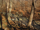
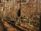
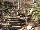
- The trail exits from the west end of the parking lot, almost immediately crossing a stream on some easy stepping stones. From there the trail slowly ascends along a broad well marked path that follows the stream.
After about a mile there is a natural bridge that the stream flows through - take time to explore this area - it's pretty amazing!
From there the trail climbs a bit to a Eden Falls, then climbs steeply to visit Eden Cave. After exploring Eden Cave (be very careful - it's slippery in there!), retrace your steps to the parking lot. - Trail statistics
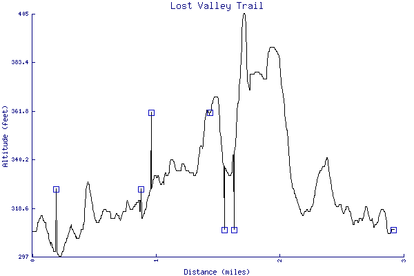
- The trail is 2.92 miles long. The sum of all the uphill climbs is 288 feet.
- Trail waypoints
0.00 mi Parking Parking lot 0.13 mi Trailhead Trailhead 0.17 mi Keep right Branch - keep right 0.80 mi Stay left Branch - stay left 0.87 mi Go right Branch - go right towards the natural bridge 0.95 mi Natural Bridge Check out the bridge, then head left 1.42 mi Head right Head right to the falls 1.47 mi Go right Head right to the falls 1.56 mi Head left Head left and up to the cave 1.62 mi Twisty trail Twisty trail to the cave 2.92 mi End of trail End of trail
- Keywords
- Difficulty: Easy
- Difficulty: Moderate
- Feature: Cave
- Feature: Waterfall
- Terrain: Canyon
- Terrain: Hilly
- Trail surface: Dirt
- Trail surface: Rock
- Type: Out-and-back
- View: Overlooks
- View: Wooded
- County: Newton
- State: Arkansas
- Country: United States of America
- Resources
- Printable trail map in PDF format (30 Mb download)
- Printable trail map in PNG format (4 Mb download)
- Waypoints in CSV format
- Waypoints in KML format
- Instructions on using a trail description page
- Instructions on using a trail map printout
- Trails in the surrounding area
- Trailheads for Arkansas Kansas, Missouri, and Oklahoma (No additional trails)
- Trailheads for Arkansas Kansas, Missouri, and Oklahoma (2 additional trails)
- Trailheads for Arkansas Missouri, and Oklahoma (No additional trails)
- Trailheads for Arkansas Missouri, and Oklahoma (2 additional trails)
Copyright © 2011 RambleFeet LLC. All rights reserved.