Blue Ridge Parkway
Falling Water Cascades Loop
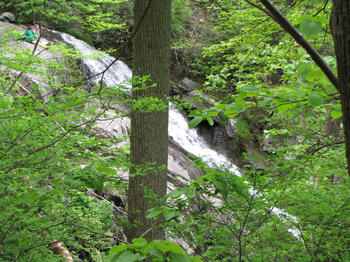
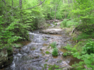
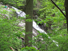
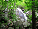
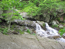
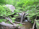
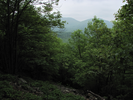
Fallingwater Cascades is a short hike with beautiful views of a long series of short waterfalls, and long views of the surrounding area.
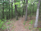
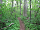
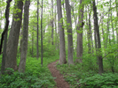
The first half of the trail descends to and then follows Fallingwater Creek as it tumbles down a rugged gorge, then the trail ascends into a cathedral like grove of trees.
This hike is quietly beautiful from end to end.
- Approach
-
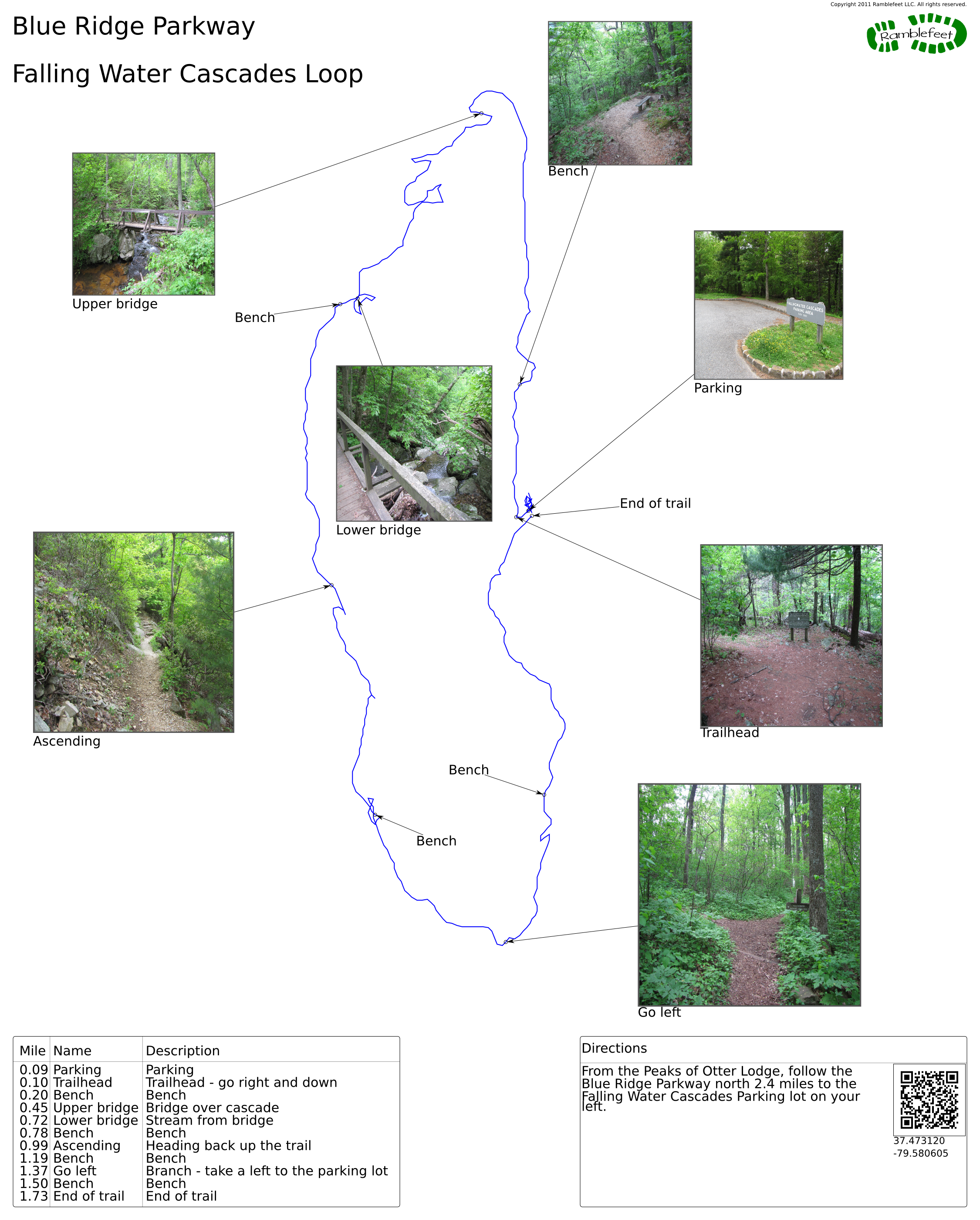
From the Peaks of Otter Lodge, follow the Blue Ridge Parkway north 2.4 miles to the Falling Water Cascades Parking lot on your left.
Coordinates for the hike: 37.4731200,-79.5806050
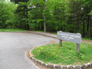
- Parking / Trailhead amenities
- The parking lot is paved and has spaces for a small number of cars. There are no facilities near the parking lot.
- Trail observations
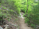
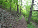
- The trailhead exits from the west side of the parking lot, where you will find a trailhead sign for 'Fallingwater - Flat Top National Recreation Trail'. Turn right at the sign and immediately start descending.
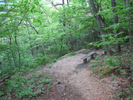
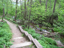
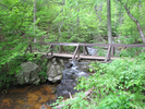
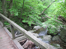
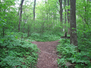
The trail will turn to follow the creek as it descends the gorge, crossing bridges twice. After the second bridge the trail will begin to ascend on a long grade with great views of the mountains, then the trail will begin to turn back towards the parkway and enter a more open woods.
There is a well signed junction near the end that will point you back to the Fallingwater Parking Area. - Trail statistics
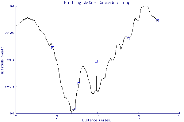
- The trail is 1.73 miles long. The sum of all the uphill climbs is 178 feet.
- Trail waypoints
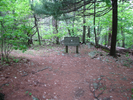
0.09 mi Parking Parking 0.10 mi Trailhead Trailhead - go right and down 0.20 mi Bench Bench 0.45 mi Upper bridge Bridge over cascade 0.72 mi Lower bridge Stream from bridge 0.78 mi Bench Bench 0.99 mi Ascending Heading back up the trail 1.19 mi Bench Bench 1.37 mi Go left Branch - take a left to the parking lot 1.50 mi Bench Bench 1.73 mi End of trail End of trail

- Keywords
- Difficulty: Moderate
- Feature: Waterfall
- Terrain : Mountainous
- Trail surface: Dirt
- Type: Loop
- View: Wooded
- County: Bedford
- State: Virginia
- Country: United States of America
- Links
- Localhikes.com page for this hike
- Blue Ridge Parkway.org. Great site for preparing to travel the Blue Ridge Parkway.
- National Park Service site for the Blue Ridge Parkway
- PDF map of the Blue Ridge Parkway
- Peaks of Otter Lodge - my son and I ate lunch here. Great food, and a spectacular view!
- Resources
- Printable trail map in PDF format (21 Mb download)
- Printable trail map in PNG format (3 Mb download)
- Waypoints in CSV format
- Waypoints in KML format
- Instructions on using a trail description page
- Instructions on using a trail map printout
- Trails in the surrounding area
- Area map for Kentucky, Ohio, Pennsylvania, Virginia, and West Virginia (No additional trails)
- Area map for Maryland, Pennsylvania, Virginia, and West Virginia (No additional trails)
- Area map for North Carolina, Virginia, and West Virginia (No additional trails)
Copyright © 2011 RambleFeet LLC. All rights reserved.