Yellowstone National Park
Wraith Falls
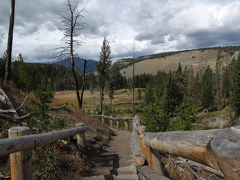
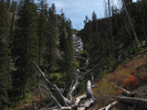
Wraith Falls is a cascade that sheets down a rock face that can be viewed from a platform after a short hike from the roadway. It's a nice place to stretch your legs and see Yellowstone country from a vantage other than your vehicle.
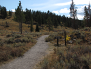
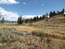
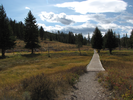
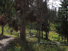
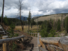
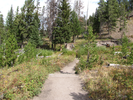
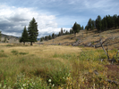
On the hike you will see a pretty meadow, cross a nice little stream, and climb a short set of stairs from where you can view the fall at the top. On the way down there are expansive views of the mountains and meadows of Yellowstone.
- Approach
-
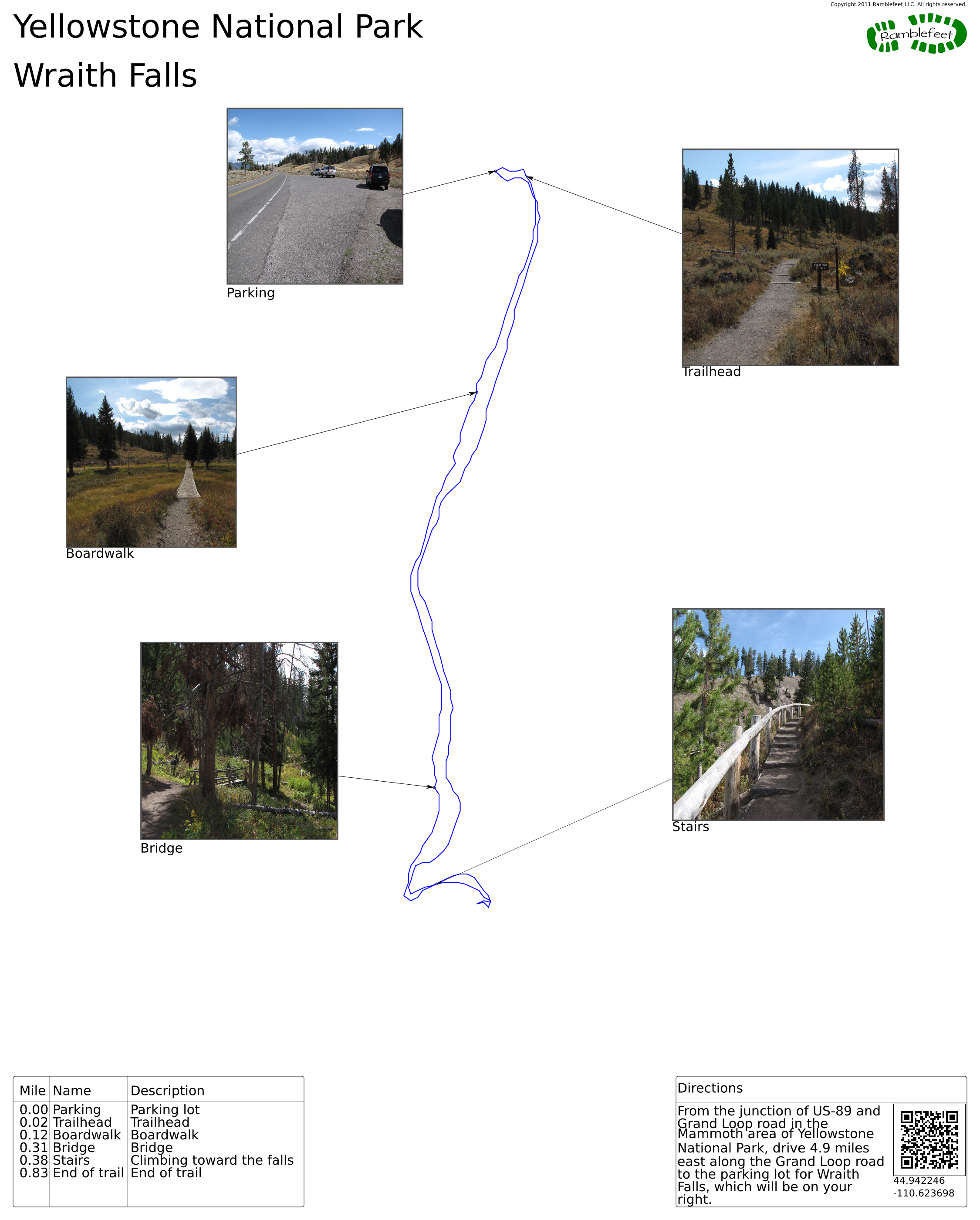
From the junction of US-89 and Grand Loop road in the Mammoth area of Yellowstone National Park, drive 4.9 miles east along the Grand Loop road to the parking lot for Wraith Falls, which will be on your right.
Coordinates for the hike: 44.9422460,-110.6236980
- Parking / Trailhead amenities
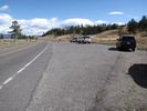
- The parking lot is a paved pullout off of Grand Loop Road. If everyone parks optimally there is probably room for about 15 cars. There are no facilities at the trailhead.
- Trail observations
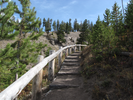
- The trail is a short and easy out and back - there is a small set of stairs to climb at the end of the hike. The trail is mostly dirt with a short section of boardwalk.
- Trail statistics
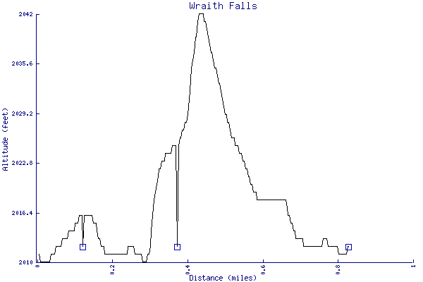
- The trail is 0.83 miles long. The sum of all the uphill climbs is 40 feet.
- Trail waypoints
0.00 mi Parking Parking lot 0.02 mi Trailhead Trailhead 0.12 mi Boardwalk Boardwalk 0.31 mi Bridge Bridge 0.38 mi Stairs Climbing toward the falls 0.83 mi End of trail End of trail
- Keywords
- Difficulty: Easy
- Feature: Waterfall
- Terrain: Mountainous
- Trail surface: Dirt
- Type: Out-and-back
- View: Open
- County: Park
- State: Wyoming
- Country: United States of America
- Resources
- Printable trail map in PDF format (10 Mb download)
- Printable trail map in PNG format (2 Mb download)
- Waypoints in CSV format
- Waypoints in KML format
- Instructions on using a trail description page
- Instructions on using a trail map printout
- Trails in the surrounding area
- Trailheads for Idaho Montana, and Wyoming (No additional trails)
- Trailheads for Idaho Montana, and Wyoming (No additional trails)
- Trailheads for Idaho Montana, and Wyoming (No additional trails)
- Trailheads for Idaho Montana, and Wyoming (No additional trails)
Copyright © 2011 RambleFeet LLC. All rights reserved.