William O'Brien State Park
Riverside Trail
The Riverside Trail is an easy hike that starts out along the serene St. Croix River, then loops back to follow the shores of Lake Alice.
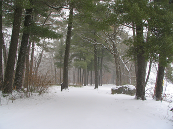
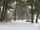
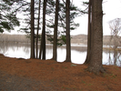
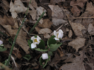
Sections of the trail tread softly on the needles of enormous pine trees, the quiet lightly broken by the low rush of water along the short rock walls that line the river.
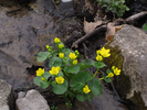
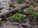
As the trail leaves the river, it follows a tiny stream and the sounds change to clicking comb and plucked banjo as the frogs make themselves known.
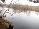
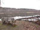
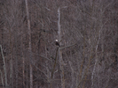
Further on, the trail visits Lake Alice, a home to eagles and hawks floating high on the air, and geese and ducks floating low on the water. This is a place of beauty - walk quietly and listen closely, there are wonders to be found.
- Approach
-
From the Marine General Store (one of my favorite places to shop) in Marine, Minnesota, follow MN Hwy 95 north 1.9 miles to the entrance to William O' Brien state park on your left.
Turn left into the park, stopping at the entrance station where you will need to pay an entrance fee.
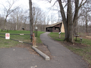
Proceed to the tee in the road, then turn left and proceed downhill beneath the highway bridge. Follow the road to the end, where you will find ample parking along Lake Alice.
Coordinates for the hike: 45.2185700,-92.7588300
- Parking / Trailhead amenities
- The parking lot is paved, level, and huge. There are both pit and flush toilets available. There are shelters, picnic tables, a swimming beach, a sand volleyball court, and a boat launch.
- Trail observations
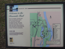
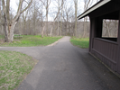
- The trailhead exits the parking lot at the far end from where the roadway enters. The trail cuts to the left of a shelter and heads towards the river. There is a map board at the trailhead. Initially the trail is paved, but then it turns to gravel and from there to pine needle, wood chip, dirt, and grass. The trail is wide and almost completely flat. This is a very easy and pleasant hike.
- Trail statistics
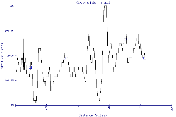
- The trail is 2.07 miles long. The sum of all the uphill climbs is 98 feet.
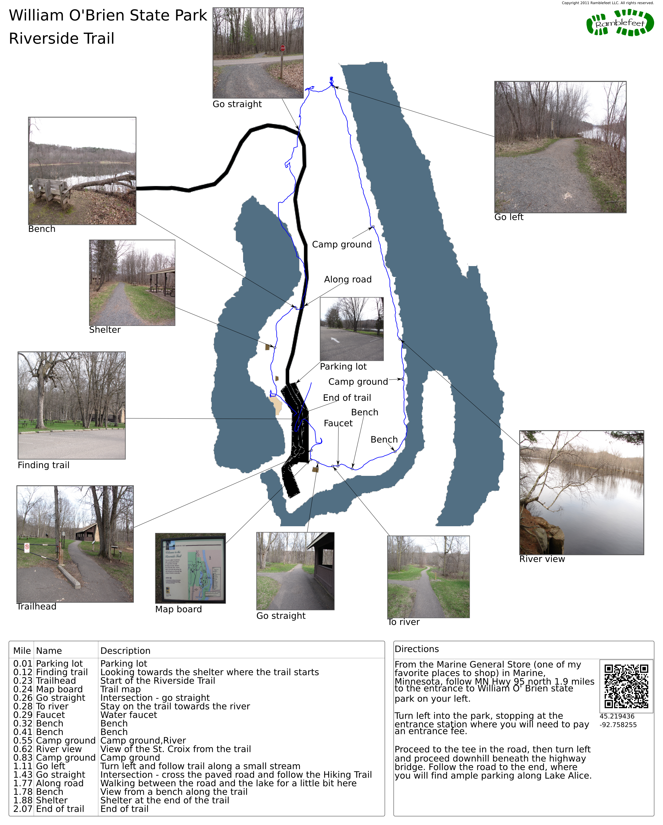
- Trail waypoints
0.01 mi Parking lot Parking lot 0.12 mi Finding trail Looking towards the shelter where the trail starts 0.23 mi Trailhead Start of the Riverside Trail 0.24 mi Map board Trail map 0.26 mi Go straight Intersection - go straight 0.28 mi To river Stay on the trail towards the river 0.29 mi Faucet Water faucet 0.32 mi Bench Bench 0.41 mi Bench Bench 0.55 mi Camp ground Camp ground,River 0.62 mi River view View of the St. Croix from the trail 0.83 mi Camp ground Camp ground 1.11 mi Go left Turn left and follow trail along a small stream 1.43 mi Go straight Intersection - cross the paved road and follow the Hiking Trail 1.77 mi Along road Walking between the road and the lake for a little bit here 1.78 mi Bench View from a bench along the trail 1.88 mi Shelter Shelter at the end of the trail 2.07 mi End of trail End of trail


- Keywords
- Difficulty: Difficult
- Difficulty: Moderate
- Terrain : Canyon
- Terrain : Flat
- Terrain : Hilly
- Terrain : Mountainous
- Trail surface: Rock
- Trail surface: Swamp
- Type: Lollipop
- Type: Out-and-back
- View: Enclosed
- County: Washington
- State: Minnesota
- Country: United States of America
- Links
- MN DNR web site
- Resources
- Printable trail map in PDF format (26 Mb download)
- Printable trail map in PNG format (3 Mb download)
- Waypoints in CSV format
- Waypoints in KML format
- Instructions on using a trail description page
- Instructions on using a trail map printout
- Trails in the surrounding area
- Area map for Minnesota and Wisconsin (1 additional trail)
- Area map for Iowa, Minnesota, and Wisconsin (6 additional trails)
Copyright © 2011 RambleFeet LLC. All rights reserved.