Whitewater State Park
Dakota and Meadow trails

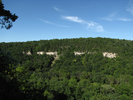
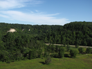
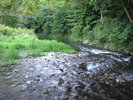
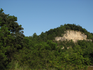
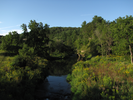
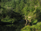
Whitewater State Park contains several high limestone ridges surrounding a lush valley carved by the Whitewater River.
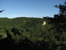
The trail described here climbs and follows two of the ridges, providing amazing views of the valley and the cliffs.
Whitewater State Park is an intricately beautiful place - it takes a while to find all the nooks and crannies tucked away between and on the ridgetops. This trail is only one of many that can be taken. You have to start somewhere!
- Approach
-
From the junction of Interstate 90 and Hwy 74 south of St. Charles, Minnesota, take Hwy 74 north through St. Charles to Interstate Hwy 14.
Hwy 74 turns left and follows Hwy 14 west for 0.2 miles till Hwy 74 takes a right and heads north again.
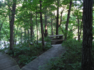
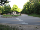
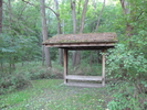
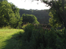
Follow Hwy 74 5.8 miles north where you will see a small wooden walking bridge on your left, and a gravel road for the group camp on your left. Exit on the group camp road, then turn immediately right and park in the Meadow Trail parking lot.
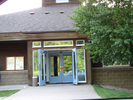
Note that you need to have a park sticker to park in the lot, which can be purchased at the park office, one mile north of the trailhead parking lot.
Coordinates for the hike: 44.0510600,-92.0543900
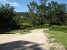
- Parking / Trailhead amenities
- The parking lot is gravel and level. There are no facilities near the parking lot.
- Trail observations
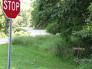
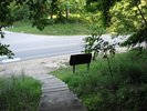
- The trailhead is beside the stop sign where you turned off Hwy 74 to enter the parking lot. Look for the "Dakota Trail" sign and follow the pointing arrow.
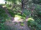
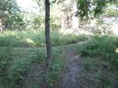
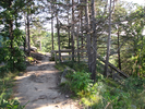
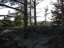
The trail starts immediately climbing along a very narrow dirt trail. The trail is often damp and can be slippery. From this point, the Dakota Trail climbs and then follows the cliffs edge till it descends and crosses over the river further down the valley. The trail then climbs and returns along the cliff on the other side of the valley, till it descends and crosses the meadow back to the parking lot.
You need to use caution when the trail is wet - the trail is often very narrow and traverses some fairly steep hillsides. A slip could be painful. At times the trail skirts the edges of some fairly substantial cliffs - a slip along these places could be fatal. If you have children, be careful. - Trail statistics
- The trail is 3.15 miles long. The sum of all the uphill climbs is 264 feet.
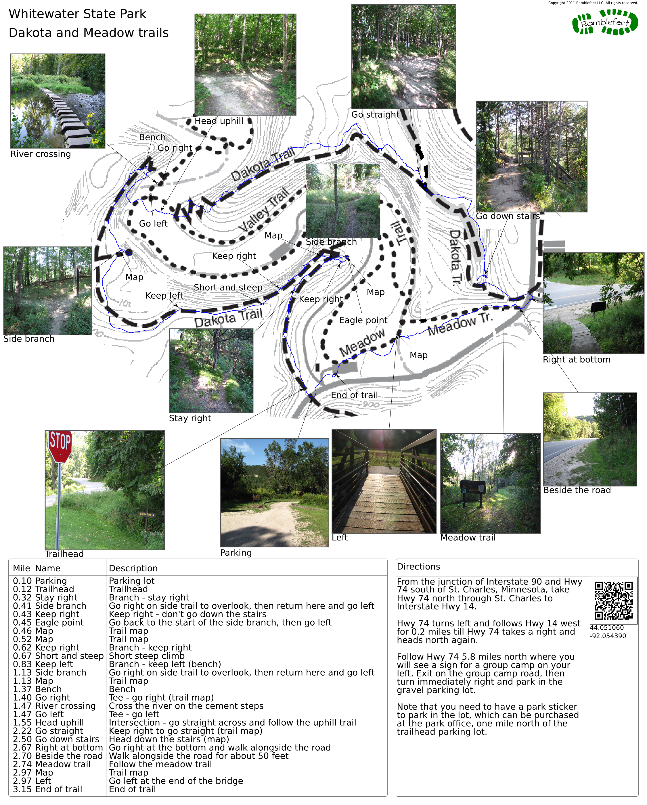
- Trail waypoints
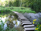
0.10 mi Parking Parking lot 0.12 mi Trailhead Trailhead 0.32 mi Stay right Branch - stay right 0.41 mi Side branch Go right on side trail to overlook, then return here and go left 0.43 mi Keep right Keep right - don't go down the stairs 0.45 mi Eagle point Go back to the start of the side branch, then go left 0.46 mi Map Trail map 0.52 mi Map Trail map 0.62 mi Keep right Branch - keep right 0.67 mi Short and steep Short steep climb 0.83 mi Keep left Branch - keep left (bench) 1.13 mi Side branch Go right on side trail to overlook, then return here and go left 1.13 mi Map Trail map 1.37 mi Bench Bench 1.40 mi Go right Tee - go right (trail map) 1.47 mi River crossing Cross the river on the cement steps 1.47 mi Go left Tee - go left 1.55 mi Head uphill Intersection - go straight across and follow the uphill trail 2.22 mi Go straight Keep right to go straight (trail map) 2.50 mi Go down stairs Head down the stairs (map) 2.67 mi Right at bottom Go right at the bottom and walk alongside the road 2.70 mi Beside the road Walk alongside the road for about 50 feet 2.74 mi Meadow trail Follow the meadow trail 2.97 mi Map Trail map 2.97 mi Left Go left at the end of the bridge 3.15 mi End of trail End of trail
- Keywords
- Difficulty: Moderate
- Terrain : Bluff
- Terrain : Hilly
- Trail surface: Dirt
- Trail surface: Grassy
- Trail surface: Gravel
- Type: Loop
- View: Overlook
- View: Wooded
- County: Winona
- State: Minnesota
- Country: United States of America
- Resources
- Printable trail map in PDF format (33 Mb download)
- Printable trail map in PNG format (4 Mb download)
- Waypoints in CSV format
- Waypoints in KML format
- Instructions on using a trail description page
- Instructions on using a trail map printout
- Trails in the surrounding area
- Area map for Iowa, Minnesota, and Wisconsin (6 additional trails)
- Area map for Iowa, Michigan, Minnesota, and Wisconsin (3 additional trails)
- Area map for Iowa, Minnesota, and Wisconsin (4 additional trails)
- Area map for Illinois, Iowa, Minnesota, and Wisconsin (4 additional trails)
Copyright © 2011 RambleFeet LLC. All rights reserved.