Vedauwoo
Turtle Rock Trail

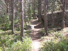
Turtle Rock Trail is an easy and amazingly rewarding hike. The picnic and other parking areas are often crowded, but once you are a short ways down the trail you will find a fair amount of seclusion and some great scenery.
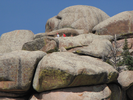
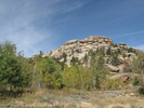
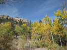
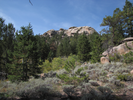
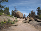
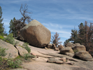
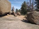
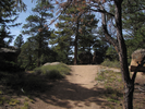
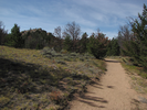
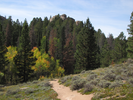
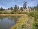
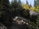
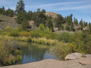
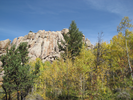
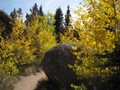
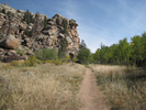
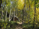
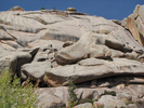
The surroundings change as you walk - dense brush, cathedral like pine groves, small ponds, open barrens, and at all times Turtle Rocks looms above you and house sized fallen boulders surround you.
- Approach
-
From the junction of I-80 and US-287 in Laramie Wyoming, follow I-80 east 15.9 miles to Vedauwoo Rd. (exit 329).
After exiting, turn left to follow Vedauwoo for 1.2 miles to the Vedauwoo Complex Rd (FS-Rd. 720).
Turn left and follow the Vedauwoo Complex Rd. 0.8 miles to the east trailhead parking lot.
Just after you turn into the complex, you will find a entrance station where you will need to pay a fee to park.
Coordinates for the hike: 41.1599700,-105.3688200
- Parking / Trailhead amenities
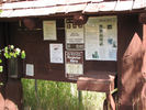
- The parking lot is paved and has room for about 10 cars. There is a clean pit toilet and an informational kiosk with a trail registration book adjacent to the parking lot.
- Trail observations
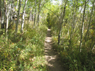
- The trail exits the parking lot near the information kiosk. The trail is in good walking condition, and it varies between narrow and wide as it circles Turtle Rock.
The trail can be a bit hard to keep track of when it is near more populated areas and parking lots - luckily there are always good trail signs, though they can sometimes be a little hard to find amongst all the volunteer trails. If in doubt, look around for a sign without going too far. - Trail statistics
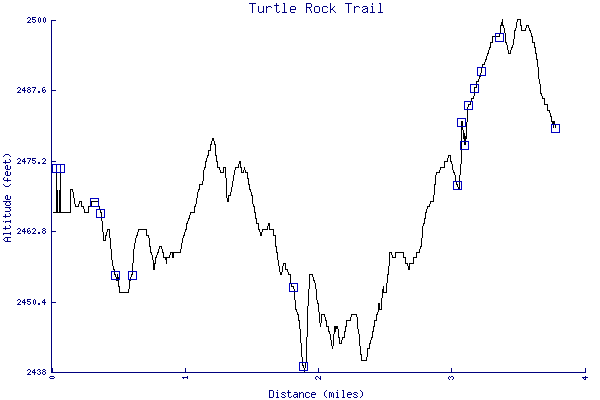
- The trail is 3.78 miles long. The sum of all the uphill climbs is 159 feet.
- Trail waypoints
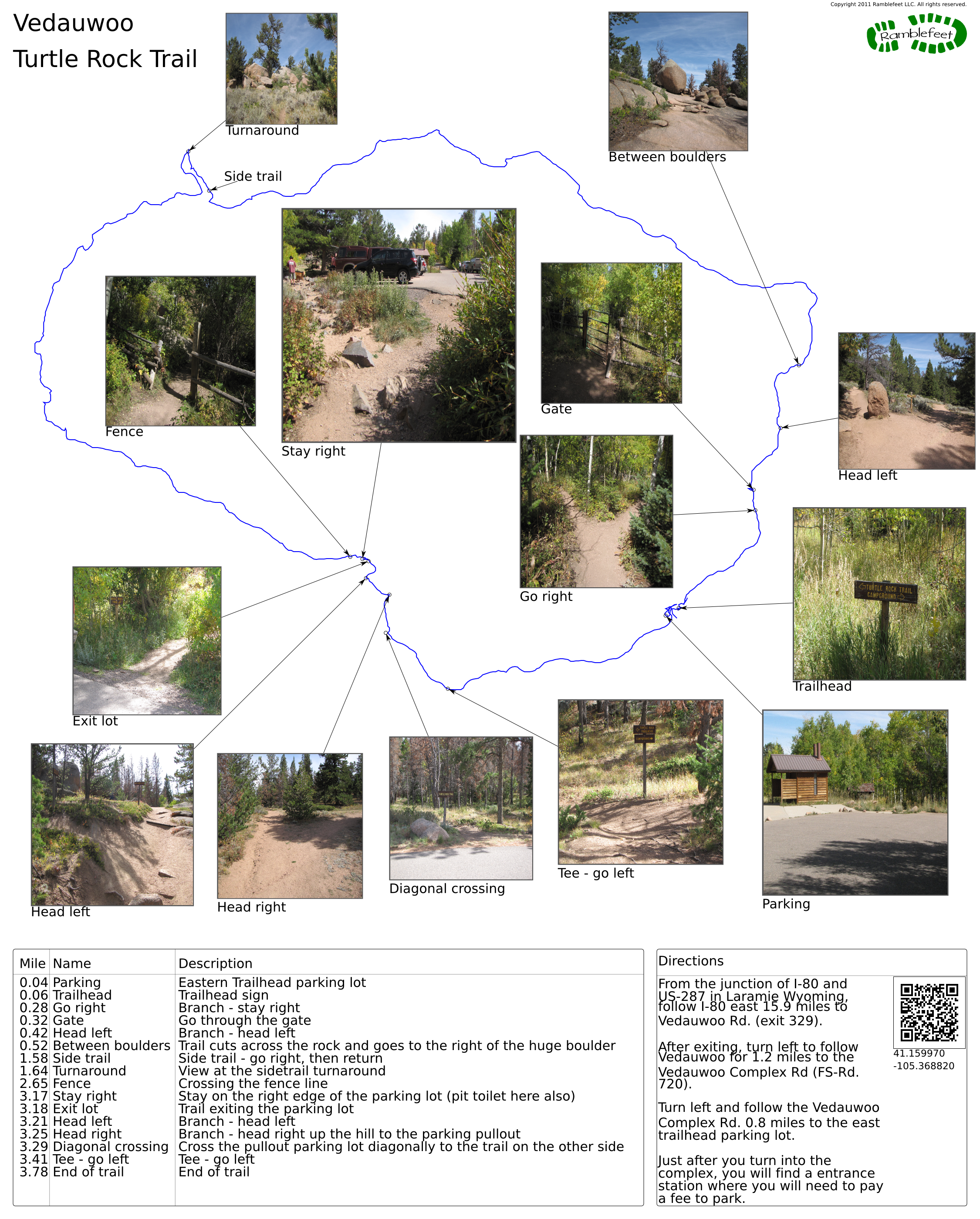
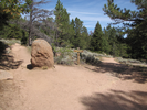
0.04 mi Parking Eastern Trailhead parking lot 0.06 mi Trailhead Trailhead sign 0.28 mi Go right Branch - stay right 0.32 mi Gate Go through the gate 0.42 mi Head left Branch - head left 0.52 mi Between boulders Trail cuts across the rock and goes to the right of the huge boulder 1.58 mi Side trail Side trail - go right, then return 1.64 mi Turnaround View at the sidetrail turnaround 2.65 mi Fence Crossing the fence line 3.17 mi Stay right Stay on the right edge of the parking lot (pit toilet here also) 3.18 mi Exit lot Trail exiting the parking lot 3.21 mi Head left Branch - head left 3.25 mi Head right Branch - head right up the hill to the parking pullout 3.29 mi Diagonal crossing Cross the pullout parking lot diagonally to the trail on the other side 3.41 mi Tee - go left Tee - go left 3.78 mi End of trail End of trail

- Keywords
- Difficulty: Easy
- Difficulty: Moderate
- Terrain: Mountainous
- Trail surface: Dirt
- Trail surface: Rock
- Type: Loop
- View: Open
- View: Wooded
- County: Albany County
- State: Wyoming
- Country: United States of America
- Resources
- Printable trail map in PDF format (35 Mb download)
- Printable trail map in PNG format (5 Mb download)
- Waypoints in CSV format
- Waypoints in KML format
- Instructions on using a trail description page
- Instructions on using a trail map printout
- Trails in the surrounding area
- Trailheads for Colorado Nebraska, South Dakota, and Wyoming (No additional trails)
- Trailheads for Colorado Nebraska, South Dakota, and Wyoming (1 additional trail)
- Trailheads for Colorado Nebraska, and Wyoming (No additional trails)
- Trailheads for Colorado Kansas, Nebraska, and Wyoming (No additional trails)
Copyright © 2011 RambleFeet LLC. All rights reserved.