Superior Hiking Trail
Britton Peak Trail
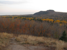
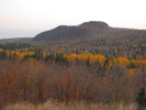
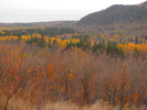
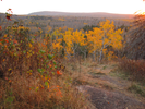
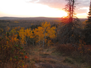
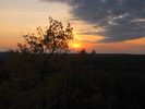
Britton Peak is the perfect place to watch the sun rising over Lake Superior or setting along the ridges and peaks of the Sawtooth Mountains.
There are incredible views of the summit of Carlton Peak and Lake Superior - for such an accessible hike it's remarkably wild and remote feeling, especially long after the sun has set.
- Approach
-
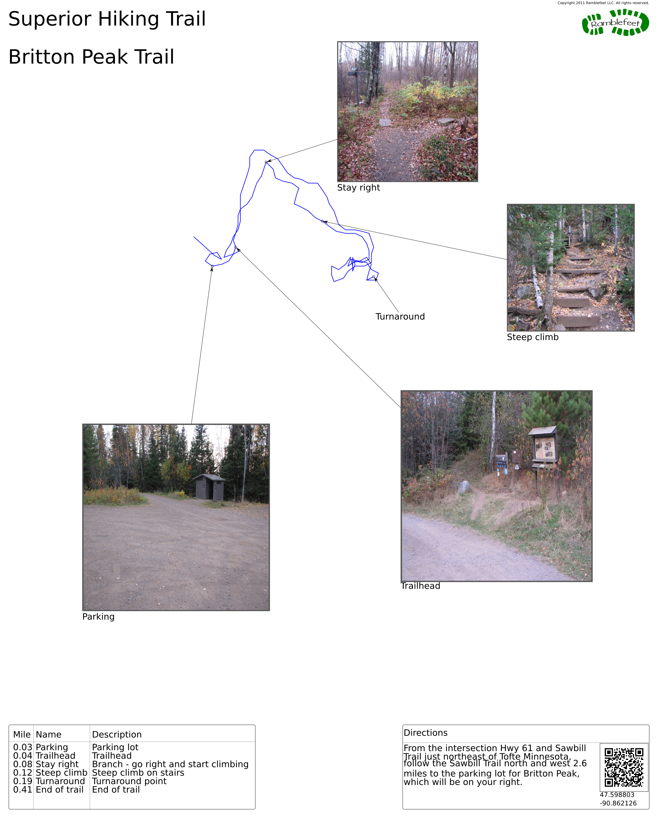
From the intersection Hwy 61 and Sawbill Trail just northeast of Tofte Minnesota, follow the Sawbill Trail north and west 2.6 miles to the parking lot for Britton Peak, which will be on your right.
Coordinates for the hike: 47.5988030,-90.8621260
- Parking / Trailhead amenities
- The gravel parking lot is large and level. There is a clean pit toilet adjacent to the parking lot, as well as a map board that details the several trails that can be accessed from the area.
- Trail observations
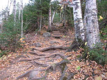
- The trail leaves directly from the parking lot near the information board. Ascend the Superior Hiking trail for a short distance, then take the spur trail right and climb steeply to the summit.
- Trail statistics
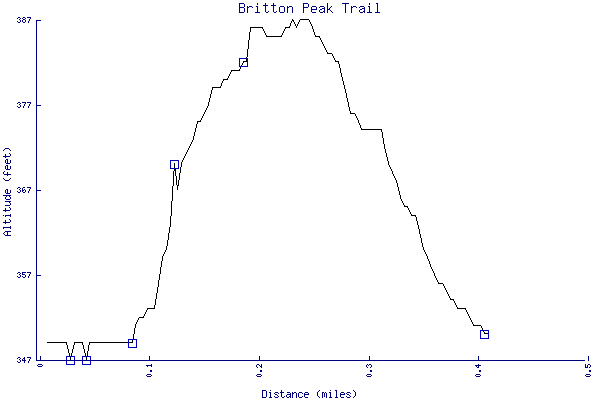
- The trail is 0.41 miles long. The sum of all the uphill climbs is 39 feet.
- Trail waypoints
0.03 mi Parking Parking lot 0.04 mi Trailhead Trailhead 0.08 mi Stay right Branch - go right and start climbing 0.12 mi Steep climb Steep climb on stairs 0.19 mi Turnaround Turnaround point 0.41 mi End of trail End of trail

- Keywords
- Difficulty: Difficult
- Difficulty: Moderate
- Feature: Rock climbing
- Feature: Waterfall
- Terrain: Badlands
- Terrain: Canyon
- Terrain: Flat
- Terrain: Hilly
- Trail surface: Grassy
- Trail surface: Gravel
- Trail surface: Paved
- Trail surface: Rock
- Trail surface: Swamp
- Type: Lollipop
- Type: Loop
- View: Shoreline
- County: Lake
- State: Minnesota
- Country: United States of America
- Resources
- Printable trail map in PDF format (10 Mb download)
- Printable trail map in PNG format (3 Mb download)
- Waypoints in CSV format
- Waypoints in KML format
- Instructions on using a trail description page
- Instructions on using a trail map printout
- Trails in the surrounding area
- Trailheads for Minnesota (-1 additional trail)
- Trailheads for Michigan and Minnesota (-1 additional trail)
- Trailheads for Minnesota and Wisconsin (2 additional trails)
- Trailheads for Michigan Minnesota, and Wisconsin (2 additional trails)
- Trailheads for Michigan Minnesota, and Wisconsin (1 additional trail)
Copyright © 2011 RambleFeet LLC. All rights reserved.