Prairie Rose State Park
East Loop Trail
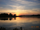
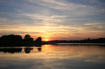
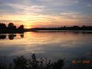
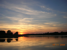
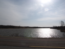
Prairie Rose is a serene little park on the western edge of Iowa. The short hike on this page follows the perimeter of a small lake, crossing an elegant little bridge over a small stream.
This is a hike of long views and quiet sounds - bird calls, frog song, crickets chirping, and always the breeze. The wind lives here, sometimes strong, sometimes playful, always present.
- Approach
-
From the McDonalds near the intersection of I80 and Iowa Rd M47, take M47 north for 7.6 miles to Prairie Rose State Park.
The road is paved and in good shape.
Coordinates for the hike: 41.6043120,-95.2081410
- Parking / Trailhead amenities
- The parking lot is gravel and is a bit tilted so it drains well. There are no supplies, drinking water, or restrooms near the trailhead, but there are two pit toilets in other areas of the park that can be seen with a little effort from the parking lot.
- Trail observations
- The trailhead leaves the parking lot on the lake side, furthest from the entrance. Near the lakeshore there is a wildlife viewing blind that might be a nice place to cool down after the hike.
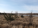
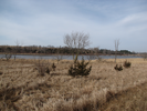
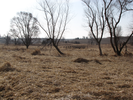
The trail is a loop that follows the edge of the lake. Generally the view is unobstructed, looking across farm fields and the pond. Occasionally the trail crosses small stands of trees that would provide some welcome shade in the summer.
The western edge of the trail is alongside the road
The trail is wide enough for two to walk side-by-side. For the most part the trail is grassy and firm, though occasionally there are damp patches. I would imagine after a rain the going might be a bit muddy.
For the most part the trail is quiet, only the sound of birds and the wind. Occasionally I heard cars driving past, but the noise quickly faded in the rolling hills.
The last bit of the trail is along the roadway, and you probably need to be careful as the few cars that come along the road are traveling fast - the gravel shoulders of the road are wide, so with a little caution there should be no real danger. - Trail statistics
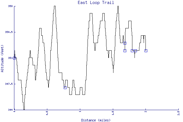
- The trail is 2.00 miles long. The sum of all the uphill climbs is 64 feet.
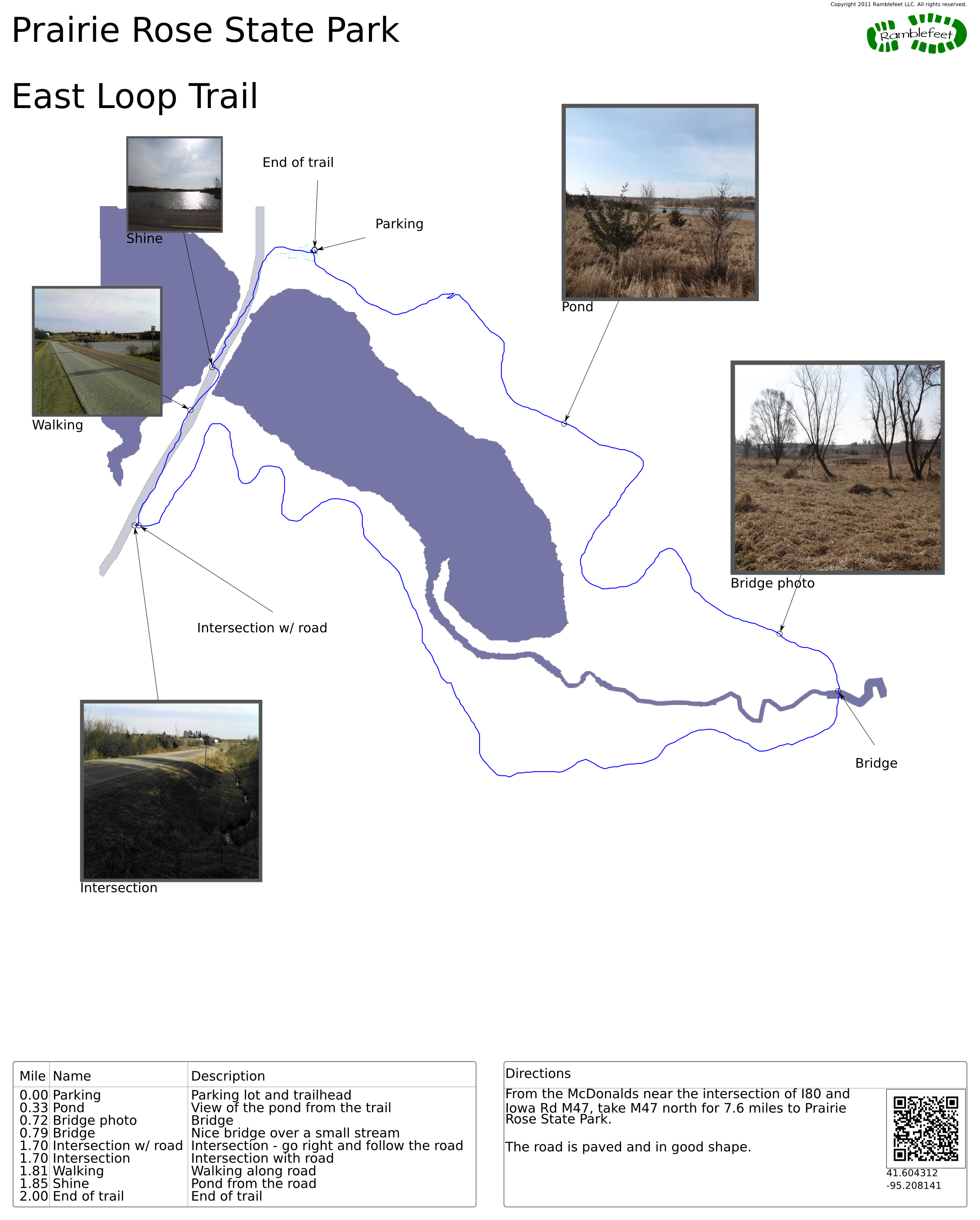
- Trail waypoints
0.00 mi Parking Parking lot and trailhead 0.33 mi Pond View of the pond from the trail 0.72 mi Bridge photo Bridge 0.79 mi Bridge Nice bridge over a small stream 1.70 mi Intersection w/ road Intersection - go right and follow the road 1.70 mi Intersection Intersection with road 1.81 mi Walking Walking along road 1.85 mi Shine Pond from the road 2.00 mi End of trail End of trail
- Sometimes I ramble...
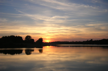
- The first time I visited Prairie Rose was a late fall afternoon, dry grass smell mingling with hints of water, geese calling on the gentle breeze. The afternoon sun came in at a slant, turning the water dark blue at first, then slowly to a blaze of gold. I'd been driving long, and the unexpected peace and beauty of the place felt a blessing.
Years later I visited again, this time with my son en route to a southwestern escape from an all too long winter. The day was cool and sunny, the only noise a steady wind and the occasional car. The grass was still matted from the winters snow, only tufts rising to catch the sunlight.
- Keywords
- Difficulty: Easy
- Terrain : Flat
- Trail surface: Dirt
- Trail surface: Grassy
- Trail surface: Rock
- View: Open
- View: Shoreline
- County: Shelby
- State: Iowa
- Country: United States of America
- Resources
- Printable trail map in PDF format (6 Mb download)
- Printable trail map in PNG format (1 Mb download)
- Waypoints in CSV format
- Waypoints in KML format
- Instructions on using a trail description page
- Instructions on using a trail map printout
- Trails in the surrounding area
- Area map for Iowa, Nebraska, and South Dakota (No additional trails)
- Area map for Iowa, Nebraska, and South Dakota (No additional trails)
- Area map for Iowa, Kansas, Missouri, and Nebraska (No additional trails)
- Area map for Iowa, Kansas, Missouri, and Nebraska (No additional trails)
Copyright © 2011 RambleFeet LLC. All rights reserved.