Nine Eagles State Park
Lake Loop

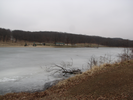
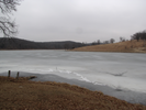
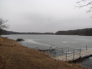
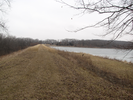
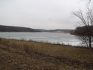
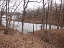
Oak covered hills, long views across a lake, soft trails and a fun water crossing make Nine Eagles State Park a fun place to visit. In the early spring oak leaves cover the ground and the views across the frozen lake show the clear contours of the surrounding hills.
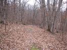
This is a nice, easy hike with pleasant rolling hills and a well groomed path. For me it's an easy stop when I'm heading south along the freeway and need to stretch my legs. I'm hoping to visit sometime during the fall - I bet it will be spectacular!
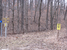
- Approach
-
From the junction of Interstate Freeway 35 and Interstate Highway 69 east of Lamoni Iowa, head east on Hwy 69 4 miles to Cty Rd. J66.
Turn right onto J66 and head south and east for 5.6 miles to the entrance to Nine Eagles State Park on your left.
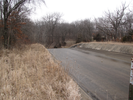
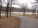
Enter the park road and drive 2.0 miles to the parking lot for the beach and playground.
Coordinates for the hike: 40.6000390,-93.7650060
- Parking / Trailhead amenities
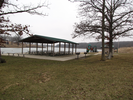
- The paved parking lot is large and has plenty of room. Adjacent to the parking lot are toilets, a swimming beach, picnic tables, a shelter, a playground, and a boat launch.
- Trail observations
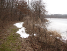
- The trail exits the parking lot on the side furthest from the beach. The trail hugs the perimeter of the lake and is generally wide and well maintained. There were a few wet spots when I hiked it in late February, but nothing too hard to find a way around.
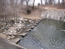
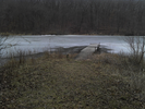
At the far end of the lake there is a spillway that needs to be crossed on large cement blocks. One of the blocks has broken and it might be a bit of a long step over the rushing water for little kids. Of course, if my son had been with me, that would have been his favorite part of the hike...
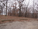
Oddly, the trail ends in a little parking lot a short way before it reaches the beach parking lot where the trail began. Simply follow the park road down the hill to reach your car. - Trail statistics
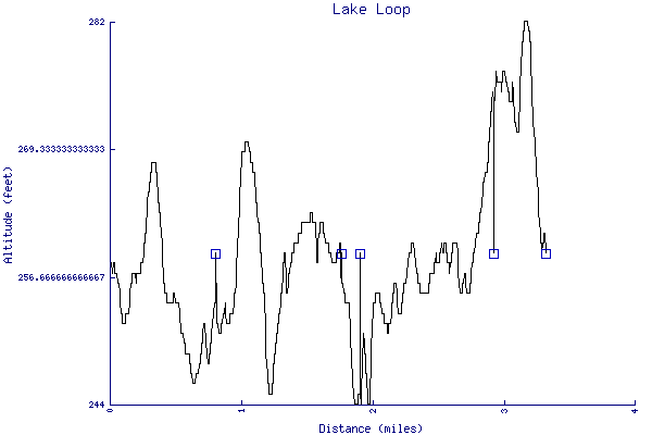
- The trail is 3.32 miles long. The sum of all the uphill climbs is 163 feet.
- Trail waypoints
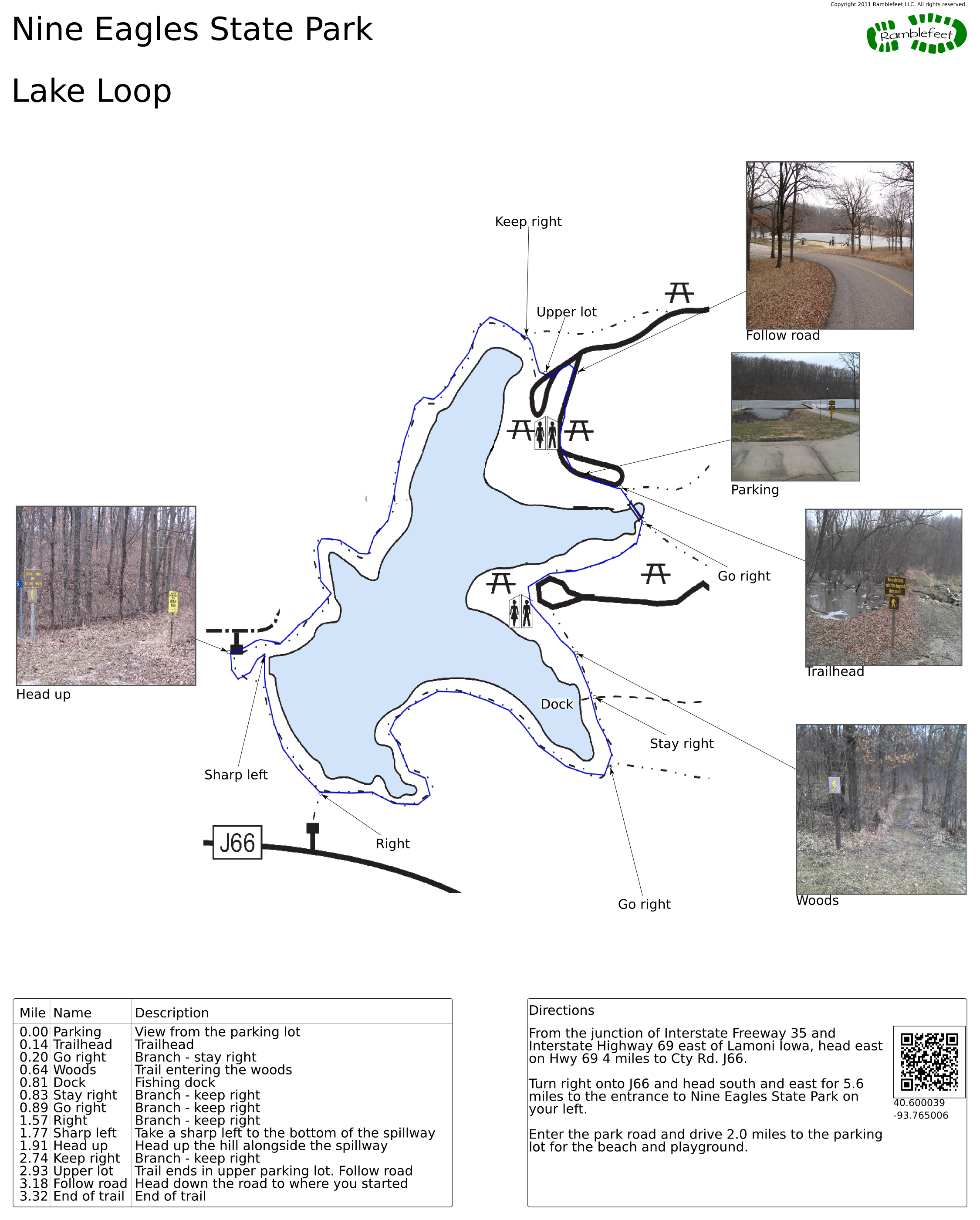
0.00 mi Parking View from the parking lot 0.14 mi Trailhead Trailhead 0.20 mi Go right Branch - stay right 0.64 mi Woods Trail entering the woods 0.81 mi Dock Fishing dock 0.83 mi Stay right Branch - keep right 0.89 mi Go right Branch - keep right 1.57 mi Right Branch - keep right 1.77 mi Sharp left Take a sharp left to the bottom of the spillway 1.91 mi Head up Head up the hill alongside the spillway 2.74 mi Keep right Branch - keep right 2.93 mi Upper lot Trail ends in upper parking lot. Follow road 3.18 mi Follow road Head down the road to where you started 3.32 mi End of trail End of trail
- Keywords
- Difficulty: Easy
- Terrain : Hilly
- Trail surface: Dirt
- Trail surface: Grassy
- Type: Loop
- View: Shoreline
- View: Wooded
- County: Decatur
- State: Iowa
- Country: United States of America
- Resources
- Printable trail map in PDF format (8 Mb download)
- Printable trail map in PNG format (2 Mb download)
- Waypoints in CSV format
- Waypoints in KML format
- Instructions on using a trail description page
- Instructions on using a trail map printout
- Trails in the surrounding area
- Trailheads for Iowa Kansas, Missouri, and Nebraska (1 additional trail)
- Trailheads for Illinois Iowa, and Missouri (No additional trails)
- Trailheads for Iowa Kansas, Missouri, and Nebraska (1 additional trail)
- Trailheads for Illinois Iowa, Kansas, and Missouri (No additional trails)
Copyright © 2011 RambleFeet LLC. All rights reserved.