Mushroom Rocks State Park
Wandering around
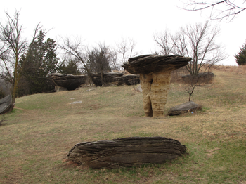
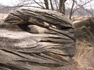
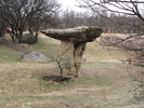
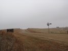
At only 5 acres, Mushroom Rock State park is the smallest park in Kansas. The compact size of the park emphasizes the strange shapes of the stone jutting out of the vast surrounding landscape. I liked roaming this park with my son, letting him explore the rocks while I tried to find the most interesting angles to photograph. It was a nice place to spend a half hour, and I'll stop back when I'm in the area again.
- Approach
-
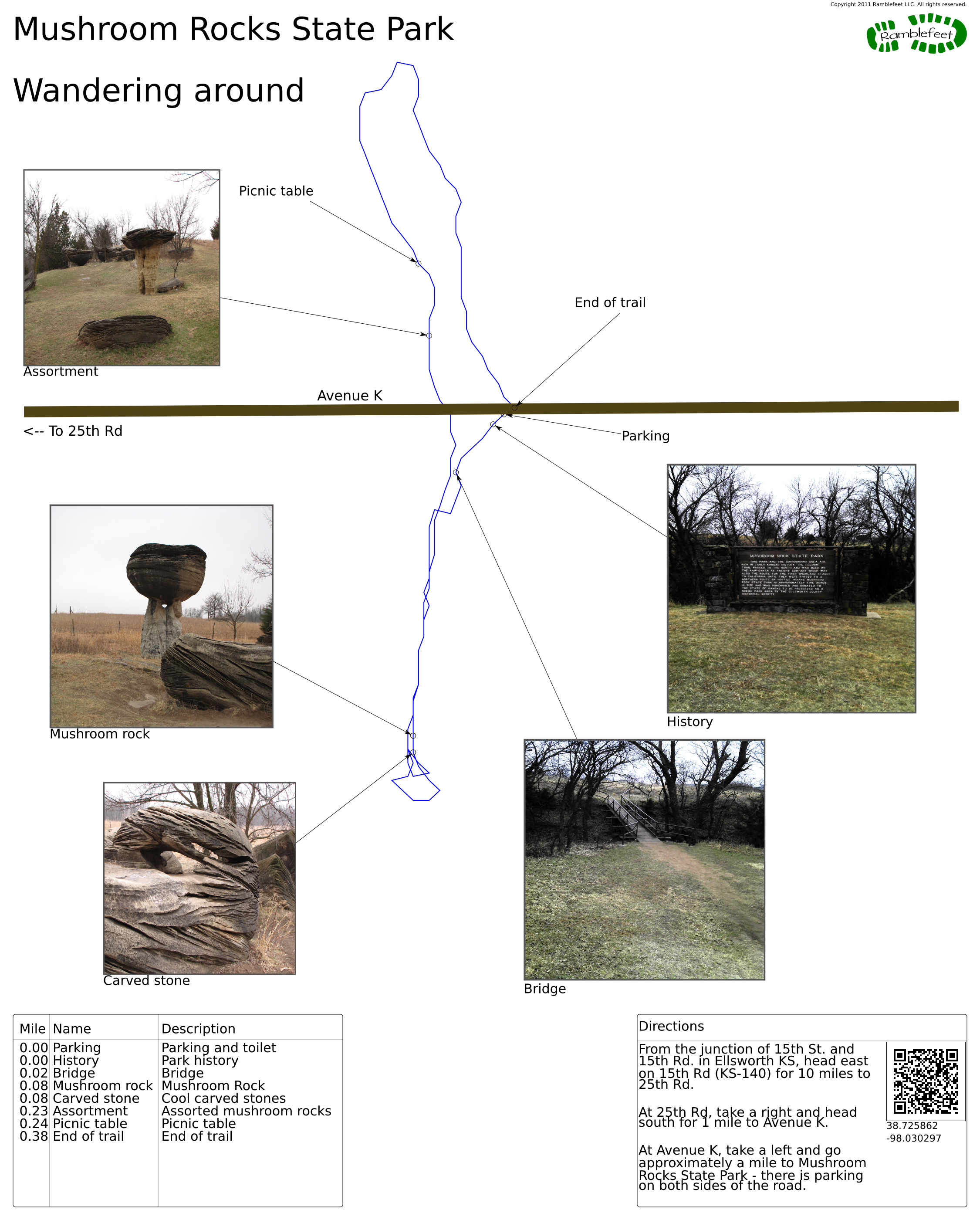
From the junction of 15th St. and 15th Rd. in Ellsworth KS, head east on 15th Rd (KS-140) for 10 miles to 25th Rd.
At 25th Rd, take a right and head south for 1 mile to Avenue K.
At Avenue K, take a left and go approximately a mile to Mushroom Rocks State Park - there is parking on both sides of the road.
Coordinates for the hike: 38.7258620,-98.0302970
- Parking / Trailhead amenities
- There is a clean pit toilet and a couple of signs near the parking lot. Make sure to cross the bridge on the south side of the road to see all of the Mushroom Rocks.
- Trail observations
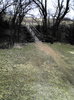
- There isn't really a trail here - simply wander around and make sure to look at the rocks from a variety of angles!
- Trail statistics
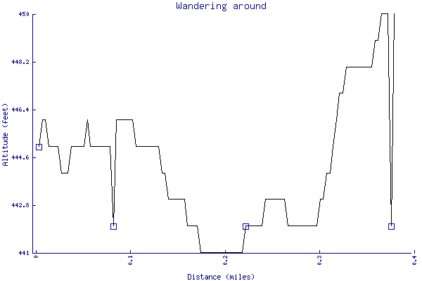
- The trail is 0.38 miles long. The sum of all the uphill climbs is 9 feet.
- Trail waypoints
0.00 mi Parking Parking and toilet 0.00 mi History Park history 0.02 mi Bridge Bridge 0.08 mi Mushroom rock Mushroom Rock 0.08 mi Carved stone Cool carved stones 0.23 mi Assortment Assorted mushroom rocks 0.24 mi Picnic table Picnic table 0.38 mi End of trail End of trail


- Keywords
- Difficulty: Easy
- Terrain : Flat
- Trail surface: Dirt
- Trail surface: Grass
- View: Open
- County: Ellsworth County
- State: Kansas
- Country: United States of America
- Links
- Official Kansas Travel and Tourism Blog
- Kansas Travel page on Mushroom Rocks - this is a good site to visit if you are traveling in Kansas!
- Resources
- Printable trail map in PDF format (7 Mb download)
- Printable trail map in PNG format (3 Mb download)
- Waypoints in CSV format
- Waypoints in KML format
- Instructions on using a trail description page
- Instructions on using a trail map printout
- Trails in the surrounding area
- Area map for Kansas and Nebraska (No additional trails)
- Area map for Iowa, Kansas, Missouri, and Nebraska (1 additional trail)
- Area map for Kansas and Oklahoma (No additional trails)
- Area map for Kansas, Missouri, and Oklahoma (1 additional trail)
Copyright © 2011 RambleFeet LLC. All rights reserved.