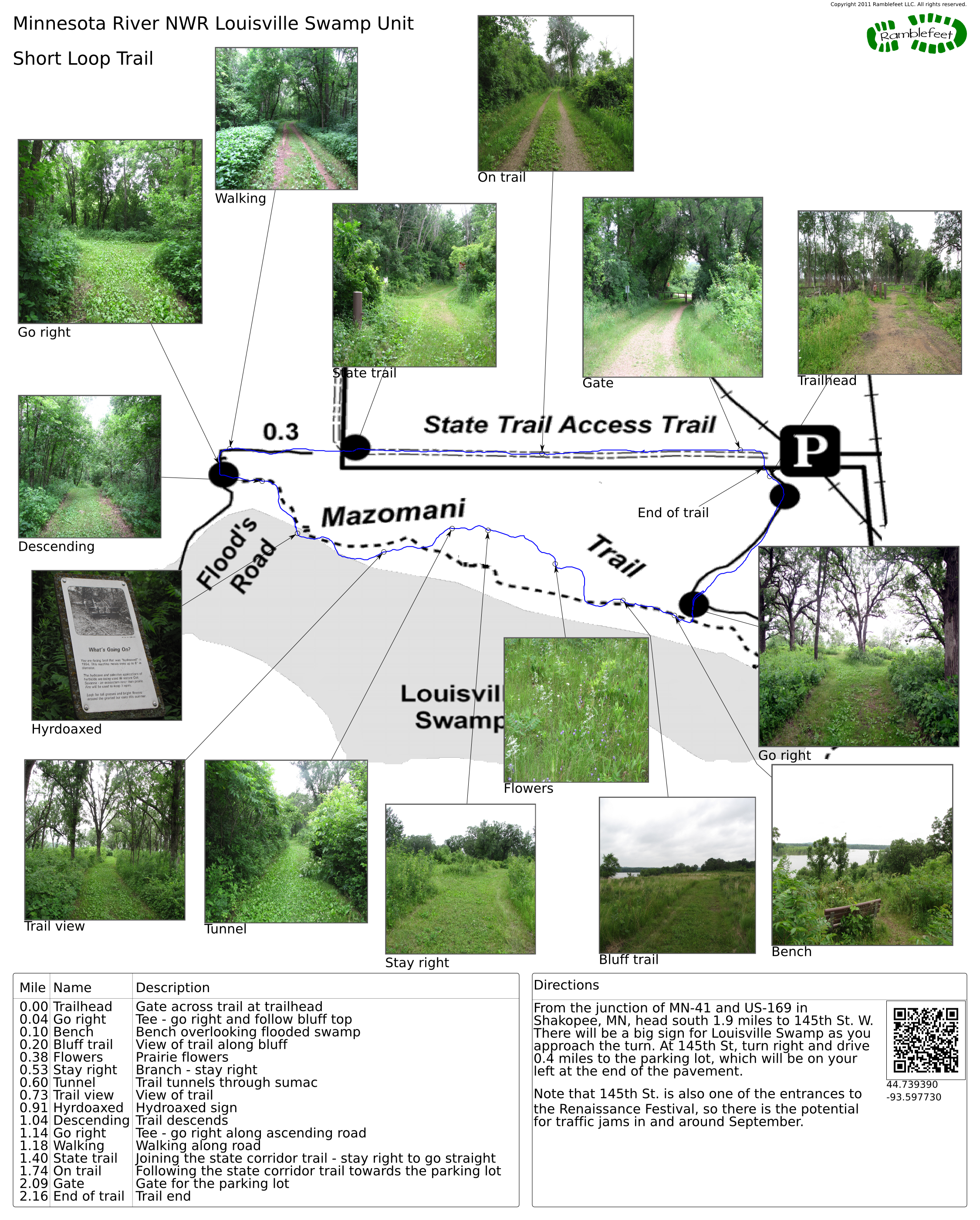
Minnesota River NWR Louisville Swamp Unit
Short Loop Trail
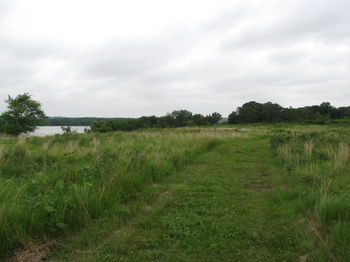
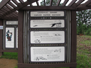
Louisville Swamp is part of the Minnesota Valley National Wildlife Refuge. When walking the trail at Louisville swamp, you will be surrounded by the close up calls of bird and frog and the far off honks and quacks of the ducks swimming in the water below. There are several different trails that can be taken in this area - the one detailed on this page is notable for the views it gives of the valley and the short bluffs across the water. From lush green and prairie blossom summer to fall color reflected in still water, the views here vary throughout the day and across the seasons. This is a short and easy hike that rewards greatly.
- Approach
-
From the junction of MN-41 and US-169 in Shakopee, MN, head south 1.9 miles to 145th St. W. There will be a big sign for Louisville Swamp as you approach the turn. At 145th St, turn right and drive 0.4 miles to the parking lot, which will be on your left at the end of the pavement.
Note that 145th St. is also one of the entrances to the Renaissance Festival, so there is the potential for traffic jams in and around September.
Coordinates for the hike: 44.7393900,-93.5977300
- Parking / Trailhead amenities
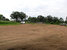
- The parking lot is dirt, and the center of the parking lot is sometimes muddy. The edges of the parking lot slope up from the center and are usually dry.
There is no water or toilet facilities at the trailhead.
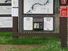
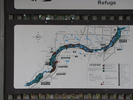
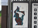
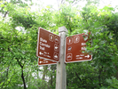
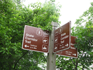
There is a large signboard at the trail with some information along with a map of Louisville Swamp as well as the Minnesota River NWR. - Trail observations
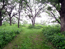
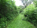
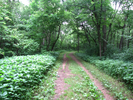
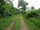
- The trail exits the parking lot on the side farthest from where you entered the parking lot, near the sign board. Just after exiting you will need to walk around a gate to continue to follow the trail. The trail is wide enough for two people to walk side by side, and is generally in good condition. When you start heading back towards the parking lot, the trail will join with the State Corridor trail. You will be sharing this wide dirt road with bicyclists. It's never been a problem, but it's good to be aware.
- Trail statistics
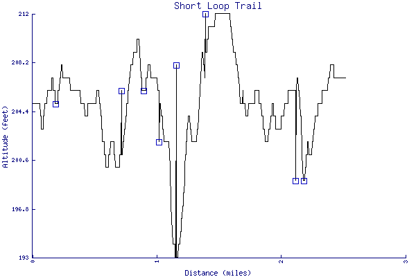
- The trail is 2.52 miles long. The sum of all the uphill climbs is 64 feet.
- Trail waypoints
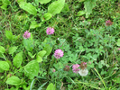
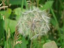
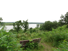
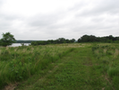
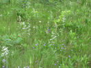
0.00 mi Trailhead Gate across trail at trailhead 0.04 mi Go right Tee - go right and follow bluff top 0.10 mi Bench Bench overlooking flooded swamp 0.20 mi Bluff trail View of trail along bluff 0.38 mi Flowers Prairie flowers 0.53 mi Stay right Branch - stay right 0.60 mi Tunnel Trail tunnels through sumac 0.73 mi Trail view View of trail 0.91 mi Hyrdoaxed Hydroaxed sign 1.04 mi Descending Trail descends 1.14 mi Go right Tee - go right along ascending road 1.18 mi Walking Walking along road 1.40 mi State trail Joining the state corridor trail - stay right to go straight 1.74 mi On trail Following the state corridor trail towards the parking lot 2.09 mi Gate Gate for the parking lot 2.16 mi End of trail Trail end

- Keywords
- Difficulty: Easy
- Terrain : Flat
- Trail surface: Dirt
- Trail surface: Dirt road
- Trail surface: Grassy
- View: Open
- County: Scott
- State: Minnesota
- Country: United States of America
- Links
- PDF map of Louisville Swamp
- U.S. Fish and Wildlife Service web page for the Minnesota Valley NWR
- Minnesota Renaissance Festival
- Resources
- Printable trail map in PDF format (39 Mb download)
- Printable trail map in PNG format (5 Mb download)
- Waypoints in CSV format
- Waypoints in KML format
- Instructions on using a trail description page
- Instructions on using a trail map printout
- Trails in the surrounding area
- Area map for Minnesota, North Dakota, South Dakota, and Wisconsin (6 additional trails)
- Area map for Iowa, Minnesota, and Wisconsin (6 additional trails)
- Area map for Iowa, Minnesota, Nebraska, and South Dakota (5 additional trails)
- Area map for Iowa, Minnesota, and Wisconsin (4 additional trails)
Copyright © 2011 RambleFeet LLC. All rights reserved.