Makoshika State Park
Diane Gabriel Trail
The Diane Gabriel trail is a fun short hike with an amazing amount of scenery.
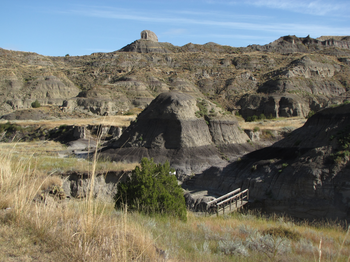
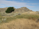
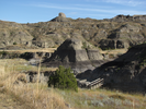
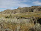
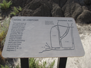
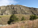
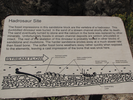
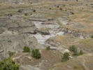
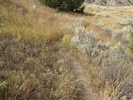
There is an excavation where a fossilized Hadrosaur was found, a wild climb to a bench perched high on a ridge, and a short walk through a pretty grassland.
This is an enjoyable quick hike, well worth doing as you explore the rest of Makoshika State Park.
- Approach
-
From the intersection of W. Towne St. and Merrill Ave. in Makoshika Montana, head southwest on Merrill 0.3 miles (4 blocks) then veer left onto Douglas Ave. and head down through a railroad underpass.
Douglas Ave. will turn into E. Barry St. Follow Barry southeast for 0.3 miles (4 blocks) to S. Taylor Ave.
Turn right on Taylor and head southwest for 0.4 miles (6 blocks) to Snyder St.
Turn left on Snyder St. and follow it 1.3 miles into Makoshika Start Park to the Diane Gabriel trailhead parking lot on your left.
At the entrance to the park, you will find an entrance station where you will need to pay an entrance fee.
Coordinates for the hike: 47.0764910,-104.6951790
- Parking / Trailhead amenities
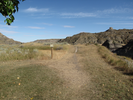
- The parking lot is paved and level and has plenty of room. There are picnic shelters and a pit toilet adjacent to the parking lot.
- Trail observations
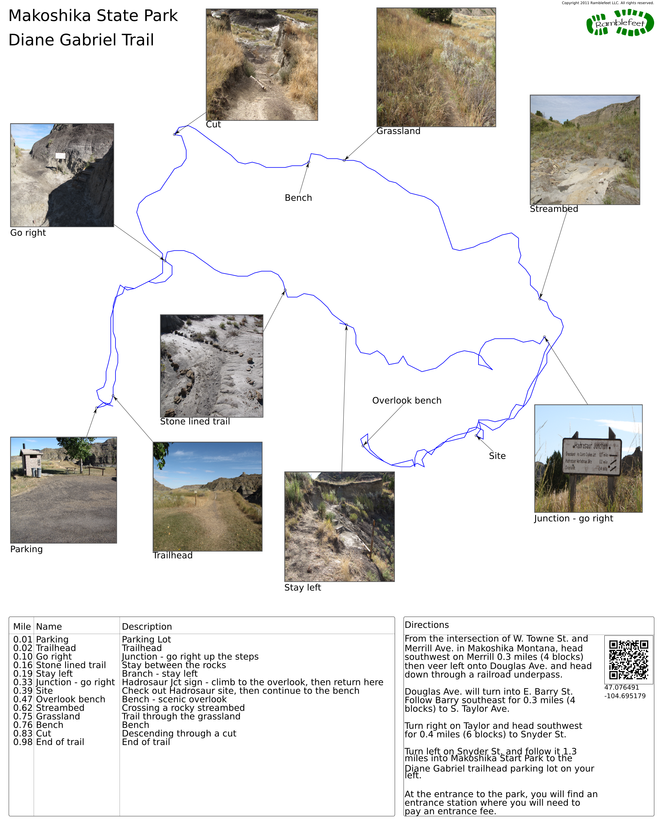
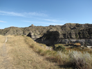
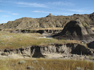
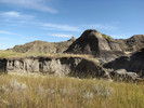
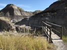
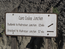
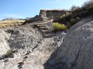
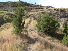
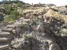
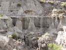
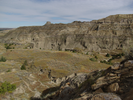
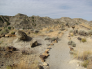
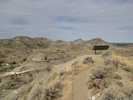
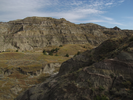
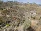
- The trail exits directly off the parking lot. After a very short walk, the trail descends steeply to a bridge over a wash, then branches to form a loop. Follow the loop right. The trail will cross some barren badlands, then begin to ascend to a side trail which you can climb to a Hadrosaur fossil excavation and a high bench overlooking the park.
After enjoying the view, descend and resume following the loop back to the bridge, then retrace your steps back to the parking lot. - Trail statistics
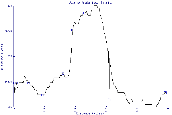
- The trail is 0.98 miles long. The sum of all the uphill climbs is 59 feet.
- Trail waypoints
0.01 mi Parking Parking Lot 0.02 mi Trailhead Trailhead 0.10 mi Go right Junction - go right up the steps 0.16 mi Stone lined trail Stay between the rocks 0.19 mi Stay left Branch - stay left 0.33 mi Junction - go right Hadrosaur Jct sign - climb to the overlook, then return here 0.39 mi Site Check out Hadrosaur site, then continue to the bench 0.47 mi Overlook bench Bench - scenic overlook 0.62 mi Streambed Crossing a rocky streambed 0.75 mi Grassland Trail through the grassland 0.76 mi Bench Bench 0.83 mi Cut Descending through a cut 0.98 mi End of trail End of trail

- Keywords
- Difficulty: Easy
- Difficulty: Moderate
- Terrain: Badlands
- Terrain: Hilly
- Trail surface: Dirt
- Trail surface: Grassy
- Type: Lollipop
- View: Open
- View: Overlooks
- County: Dawson
- State: Montana
- Country: United States of America
- Links
- Wikipedia article - brief but informative
- Montana Fish and Wildlife site
- Excellent source of information
- Montana Office of Tourism twitter page. Good source for specific answers to questions about Montana.
- Resources
- Printable trail map in PDF format (22 Mb download)
- Printable trail map in PNG format (3 Mb download)
- Waypoints in CSV format
- Waypoints in KML format
- Instructions on using a trail description page
- Instructions on using a trail map printout
- Trails in the surrounding area
- Trailheads for Montana (No additional trails)
- Trailheads for Montana and North Dakota (1 additional trail)
- Trailheads for Montana and North Dakota (No additional trails)
- Trailheads for Montana and Wyoming (No additional trails)
- Trailheads for Montana North Dakota, South Dakota, and Wyoming (No additional trails)
Copyright © 2011 RambleFeet LLC. All rights reserved.