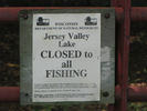
Jersey Valley County Park
Loop Trail
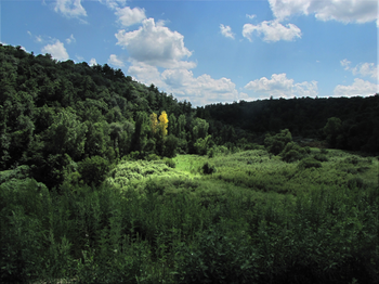
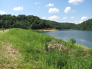
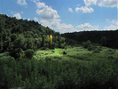
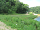
The Jersey Valley loop trail follows the perimeter of a lake formed at the junction of two valleys.
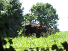
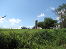
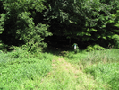
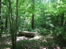
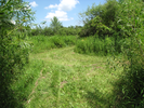
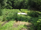
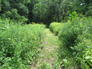
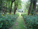
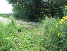
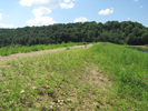
The trail has a few steep climbs and descents and travels mostly through open pine forest and dense leafy trees, though occasionally the foliage thins to a flower filled clearing.
This is a beautiful trail - well constructed and easy to follow, with sights worth seeing both near and far.
- Approach
-
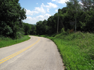
From the Junction of Interstate Hwy 61 and WI-27 just north of Westby Wisconsin, take WI-27 northeast for 2.7 miles to Cty Rd. X.
Turn right onto Cty Rd. X and go 1 mile to the Jersey Valley County Park parking lot.
Coordinates for the hike: 43.6901800,-90.8000060
- Parking / Trailhead amenities
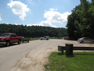
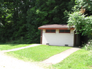
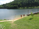
- The parking lot is paved and level. Adjacent to the lot there is a a drinking fountain and faucet, a pit toilet, a picnic area, and swimming beach.
- Trail observations
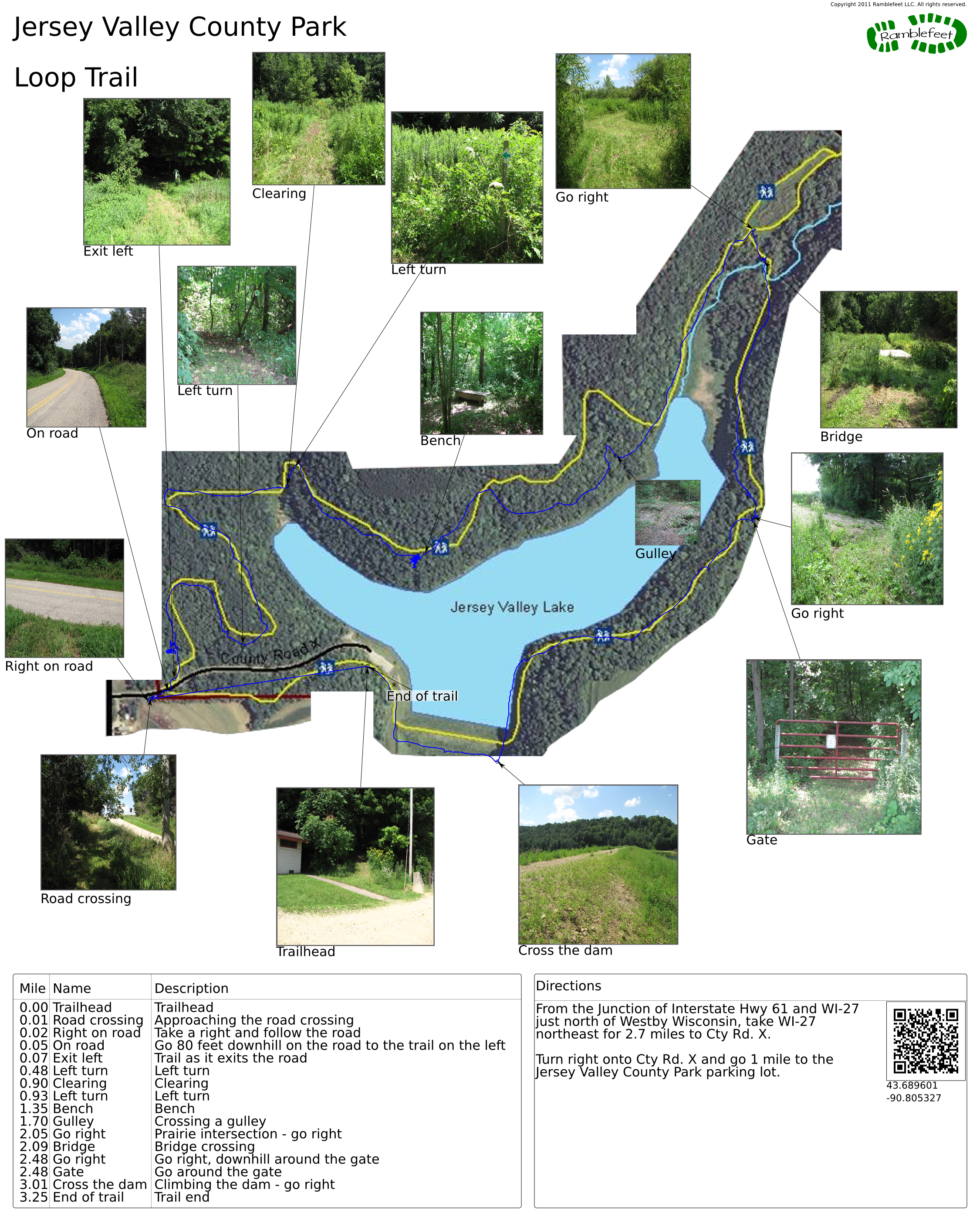
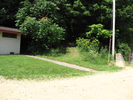
- The trail leaves directly from the parking lot, just to the right of the outhouse.
The trail immediately ascends through a dense leafy forest, paralleling the entrance road to your right. At the top of the ascent, the trail turns and joins with the road. At this point, you need to follow the road downhill about 80 feet till you pick up the trail again as it exits on the left side of the road.
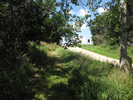
The trail is moderately hard as there are several ascents and descents. Sections of the trail could be muddy in the spring and after heavy rains. Generally the trail is wide enough for two people to walk side by side. At the far end of the loop there is a small loop trail that could be taken that traverses a meadow.
When documenting this hike I chose to skip the small loop because it was buggy in the low meadow, and I wanted to follow the trail to higher and cooler ground as quickly as I could. - Trail statistics
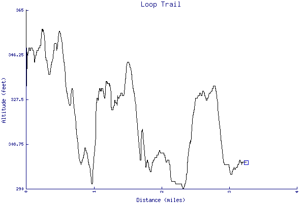
- The trail is 3.25 miles long. The sum of all the uphill climbs is 291 feet.
- Trail waypoints
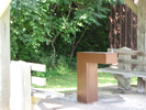
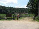
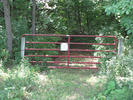
0.00 mi Trailhead Trailhead 0.01 mi Road crossing Approaching the road crossing 0.02 mi Right on road Take a right and follow the road 0.05 mi On road Go 80 feet downhill on the road to the trail on the left 0.07 mi Exit left Trail as it exits the road 0.48 mi Left turn Left turn 0.90 mi Clearing Clearing 0.93 mi Left turn Left turn 1.35 mi Bench Bench 1.70 mi Gulley Crossing a gulley 2.05 mi Go right Prairie intersection - go right 2.09 mi Bridge Bridge crossing 2.48 mi Go right Go right, downhill around the gate 2.48 mi Gate Go around the gate 3.01 mi Cross the dam Climbing the dam - go right 3.25 mi End of trail Trail end
- Keywords
- Difficulty: Moderate
- Terrain : Hilly
- Trail surface: Dirt
- Trail surface: Grassy
- Type: Loop
- View: Shoreline
- View: Wooded
- County: Vernon
- State: Wisconsin
- Country: United States of America
- Resources
- Printable trail map in PDF format (45 Mb download)
- Printable trail map in PNG format (5 Mb download)
- Waypoints in CSV format
- Waypoints in KML format
- Instructions on using a trail description page
- Instructions on using a trail map printout
- Trails in the surrounding area
- Area map for Iowa, Michigan, Minnesota, and Wisconsin (3 additional trails)
- Area map for Illinois, Iowa, Minnesota, and Wisconsin (4 additional trails)
- Area map for Illinois, Iowa, and Wisconsin (1 additional trail)
Copyright © 2011 RambleFeet LLC. All rights reserved.