Flaming Gorge National Recreation Area
Little Hole Trail
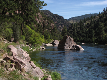
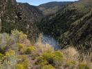
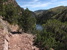
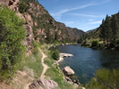
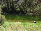
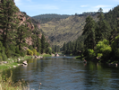
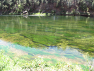
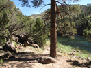
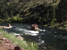
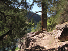
There is something about this out and back trail that draws you on and on. Maybe it's the sight of the river turning the bend just a short walk ahead, or maybe it's the fun variations in the trail. Undeniably the hike offers stunning scenery that continues from the first step down from the parking lot to as far as I've ever hiked.
I always seem to be a little rushed when I reach the Little Hole Trail - usually I'm heading back to Minnesota from a week spent hiking in the southwest, and I decide to walk the Little Hole Trail in the late afternoon after a long day driving. I always set off flustered and a little stressed, which gives way to a feeling of amazement as I once again realize how truly wonderful a hike this is.
Inevitably I travel further down the river than I intend, and honestly I think that is a good thing.
- Approach
-
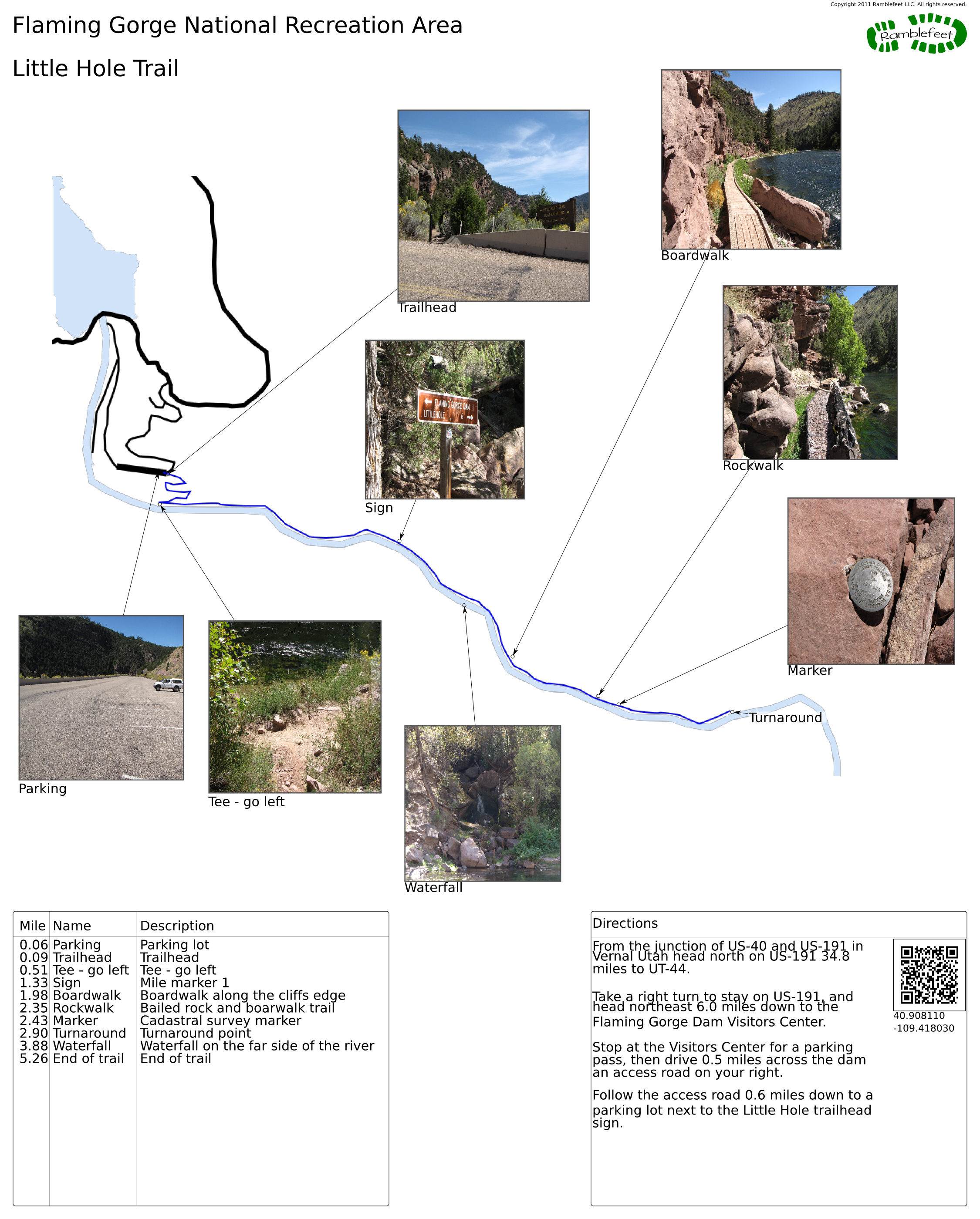
From the junction of US-40 and US-191 in Vernal Utah head north on US-191 34.8 miles to UT-44.
Take a right turn to stay on US-191, and head northeast 6.0 miles down to the Flaming Gorge Dam Visitors Center.
Stop at the Visitors Center for a parking pass, then drive 0.5 miles across the dam to an access road on your right.
Follow the access road 0.6 miles down to a parking lot next to the Little Hole trailhead sign.
Coordinates for the hike: 40.9081100,-109.4180300
- Parking / Trailhead amenities
- The parking lot is paved, a bit tilted, and has a huge number of parking spaces. The only facilities near the parking lot are a porta-pottie.
- Trail observations
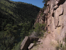
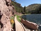
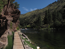
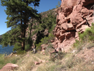
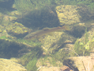
- The trail exits from the upper end of the parking lot, then switchbacks down about 400 feet to the edge of the river. At the river, follow the trail left for as long as you like.
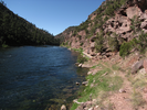
The trail along the river is mostly flat, well maintained, and easy going. Just remember to save some energy for the climb back up to the parking lot! - Trail statistics
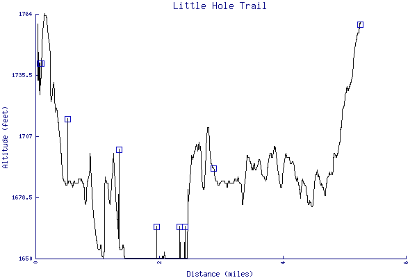
- The trail is 5.26 miles long. The sum of all the uphill climbs is 457 feet.
- Trail waypoints
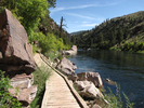
0.06 mi Parking Parking lot 0.09 mi Trailhead Trailhead 0.51 mi Tee - go left Tee - go left 1.33 mi Sign Mile marker 1 1.98 mi Boardwalk Boardwalk along the cliffs edge 2.35 mi Rockwalk Bailed rock and boarwalk trail 2.43 mi Marker Cadastral survey marker 2.90 mi Turnaround Turnaround point 3.88 mi Waterfall Waterfall on the far side of the river 5.26 mi End of trail End of trail

- Keywords
- Difficulty: Easy
- Difficulty: Moderate
- Terrain: Canyon
- Trail surface: Dirt
- Type: Out-and-back
- View: Open
- View: Shoreline
- County: Daggett
- State: Utah
- Country: United States of America
- Resources
- Printable trail map in PDF format (20 Mb download)
- Printable trail map in PNG format (3 Mb download)
- Waypoints in CSV format
- Waypoints in KML format
- Instructions on using a trail description page
- Instructions on using a trail map printout
- Trails in the surrounding area
- Trailheads for Idaho Utah, and Wyoming (No additional trails)
- Trailheads for Colorado Idaho, Utah, and Wyoming (1 additional trail)
- Trailheads for Colorado Utah, and Wyoming (No additional trails)
- Trailheads for Colorado Utah, and Wyoming (No additional trails)
- Trailheads for Colorado Utah, and Wyoming (1 additional trail)
Copyright © 2011 RambleFeet LLC. All rights reserved.