Custer State Park
Sunday Gulch Trail
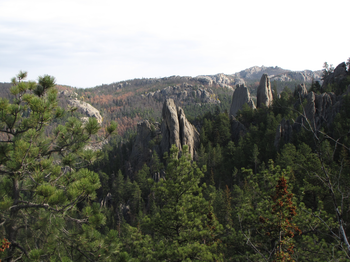
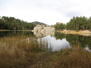
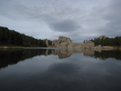
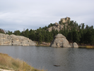
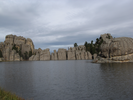
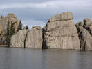
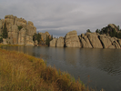
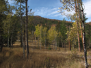
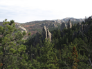
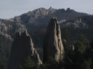
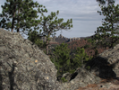
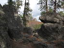
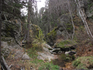
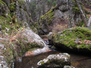
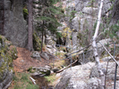
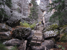
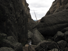
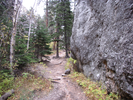
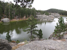
Sunday Gulch is an amazingly diverse trail - meadows with long views, hard climbs to rocky ridges, steep cliffs, tight canyons, rock hopping and boulder scrambling, and the incomparable scenery of Sylvan Lake.
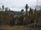
On a clear day the views are amazing - rock spires shooting up through the trees backdropped by mountains and far away valleys. On a foggy day the trail is mysterious as you wind through boulder fields and deep waterfilled canyons.
On any sort of day this is a very fun and beautiful hike!
- Approach
-
From the junction of Interstate Hwy 385 and South Dakota Hwy 87 about 3 miles south of Hill City, follow SD 87 south as it winds it's way up 5.8 miles to a junction with SD 89.
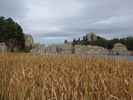
Take a left to continue following 87 into the Sylvan Lake area of Custer State Park. Stop at the entrance station to pay for an entrance permit, then follow the right edge of Sylvan Lake counterclockwise till you reach a large parking lot.
Coordinates for the hike: 43.8458880,-103.5597890
- Parking / Trailhead amenities
- The paved parking lot is large and a bit tilted. There are pit toilets near the parking lot, and on the far side of the lake there is a general store and restaurant.
- Trail observations
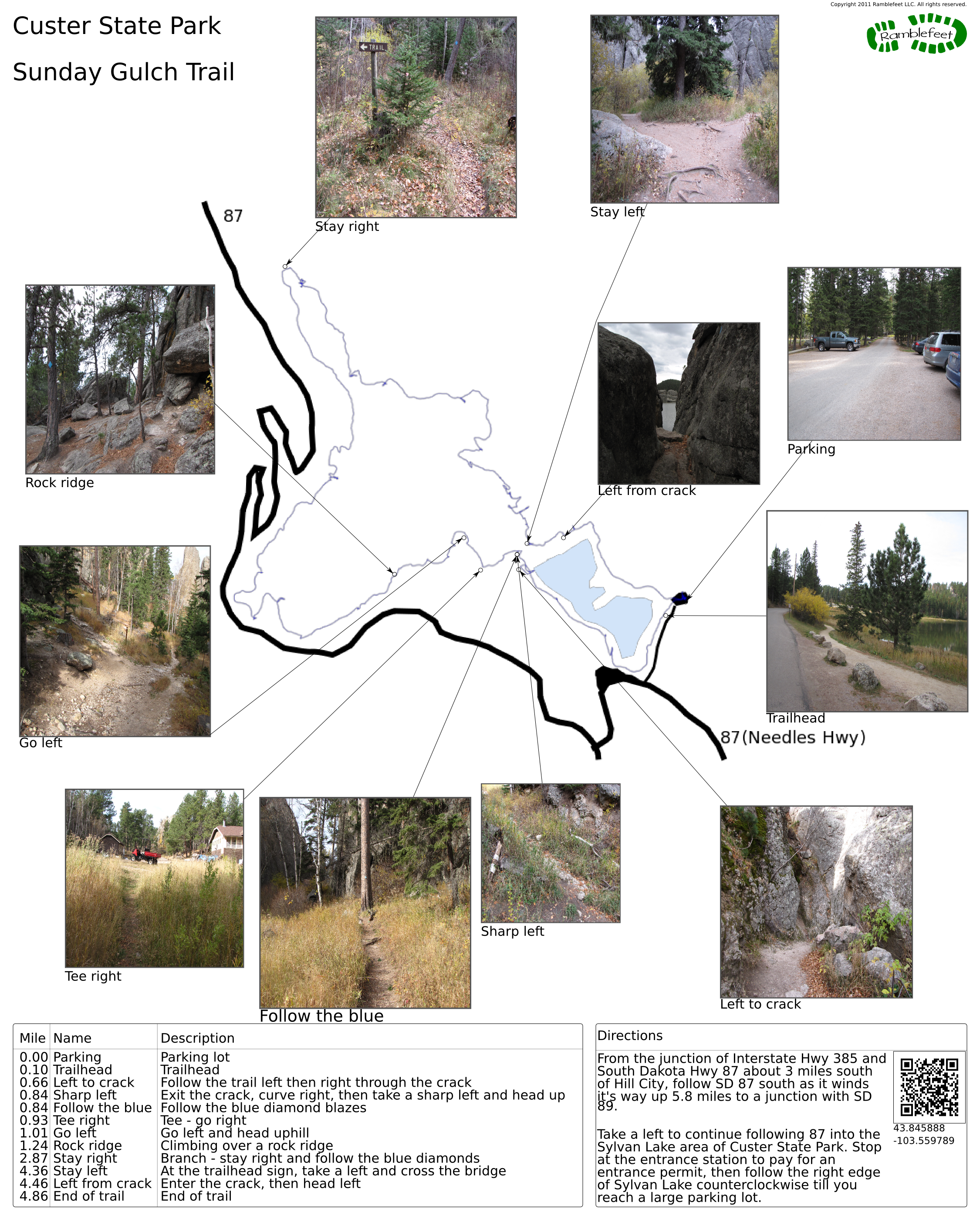
- The trail starts by going clockwise around Sylvan Lake. As you approach the wall of rock at the far end of the lake, the trail splits. To the right is a dead end overlook, and to the left the trail seems to end as well. Head left and go through the wall.
On the far side of the crack, the trail will curve right and then fork. Take a sharp turn left at the fork and head up the hill, following the blue diamond blazes.
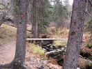
At the top of the climb the trail will hit a tee with a road near some cabins. Follow the road right as it heads downhill, then take a left at the bottom. From this point on there are no more 'tough' junctions. Just follow the trail that is marked by the blue diamonds, and you'll be fine.
Note that this trail is closed from November and well into the spring, as the gulch gets clogged with ice and becomes impassable. - Trail statistics
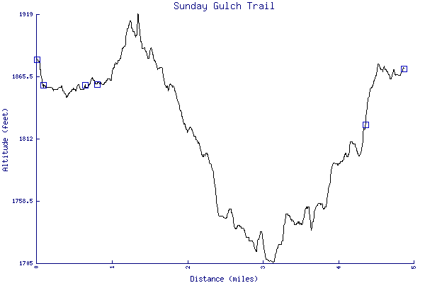
- The trail is 4.86 miles long. The sum of all the uphill climbs is 425 feet.
- Trail waypoints
0.00 mi Parking Parking lot 0.10 mi Trailhead Trailhead 0.66 mi Left to crack Follow the trail left then right through the crack 0.84 mi Sharp left Exit the crack, curve right, then take a sharp left and head up 0.84 mi Follow the blue Follow the blue diamond blazes 0.93 mi Tee right Tee - go right 1.01 mi Go left Go left and head uphill 1.24 mi Rock ridge Climbing over a rock ridge 2.87 mi Stay right Branch - stay right and follow the blue diamonds 4.36 mi Stay left At the trailhead sign, take a left and cross the bridge 4.46 mi Left from crack Enter the crack, then head left 4.86 mi End of trail End of trail
- Keywords
- Difficulty: Easy
- Difficulty: Moderate
- Feature: Rock scrambling
- Feature: Waterfall
- Terrain: Canyon
- Terrain: Mountainous
- Trail surface: Dirt
- Trail surface: Gravel
- Trail surface: Rock
- Type: Loop
- View: Enclosed
- View: Overlooks
- View: Wooded
- County:
- State: South Dakota
- Country: United States of America
- Links
- Wikipedia Article for Sylvan Lake with some details about the National Treasure connection
- Custer State Park site
- Resources
- Printable trail map in PDF format (29 Mb download)
- Printable trail map in PNG format (5 Mb download)
- Waypoints in CSV format
- Waypoints in KML format
- Instructions on using a trail description page
- Instructions on using a trail map printout
- Trails in the surrounding area
- Trailheads for Montana South Dakota, and Wyoming (1 additional trail)
- Trailheads for Montana North Dakota, South Dakota, and Wyoming (4 additional trails)
- Trailheads for Nebraska South Dakota, and Wyoming (1 additional trail)
- Trailheads for Nebraska South Dakota, and Wyoming (4 additional trails)
Copyright © 2011 RambleFeet LLC. All rights reserved.