Chippewa Moraine State Recreation Area
Circle Trail
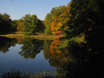
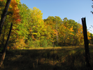
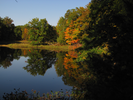
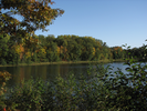
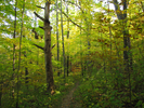
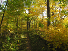
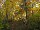
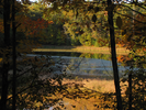
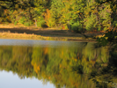
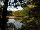
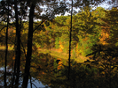
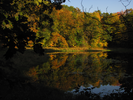
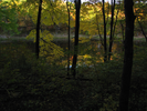
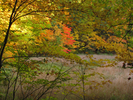
Have you dreamed of walking along a secluded shoreline, fall hardwoods in flaming color reflected in the lake? How about following the edge of a quiet pond with reeds whispering in the light breeze, feet treading soft on a bed of pine needles.
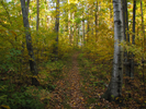
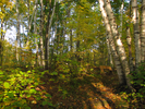
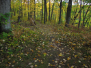
I lost track of all the different shoreline types this trail offered. Over and over I would find a breathtaking image taking shape through the trees. The small lakes and ponds are sheltered in deep hollows, near perfect mirrors to reflect the surrounding trees beneath the blue sky.
I feel like this is the quintessential fall hike. When the next blue sky fall day comes around, I know where I will be.
- Approach
-
From the junction of US-53 and Wisconsin Cty Hwy M just west of New Auburn Wisconsin, head east on Cty Hwy M 0.6 miles to Cty Hwy SS.
Take a left on Cty SS/Cty M and head north 0.5 miles to where Hwy M breaks with Cty SS and heads east.
Follow Cty Hwy M 7.6 miles to the entrance for the Chippewa Moraine interpretive center. Follow the entrance road up the curve to the parking lot at the top of the hill.
Coordinates for the hike: 45.2237200,-91.4135500
- Parking / Trailhead amenities
- The parking lot is paved, large, and level. The interpretive center beside the parking lot has clean flush toilets, and there are faucets and a drinking fountain inside. It is worth spending some time in the visitor center as there is much to see and learn.
- Trail observations
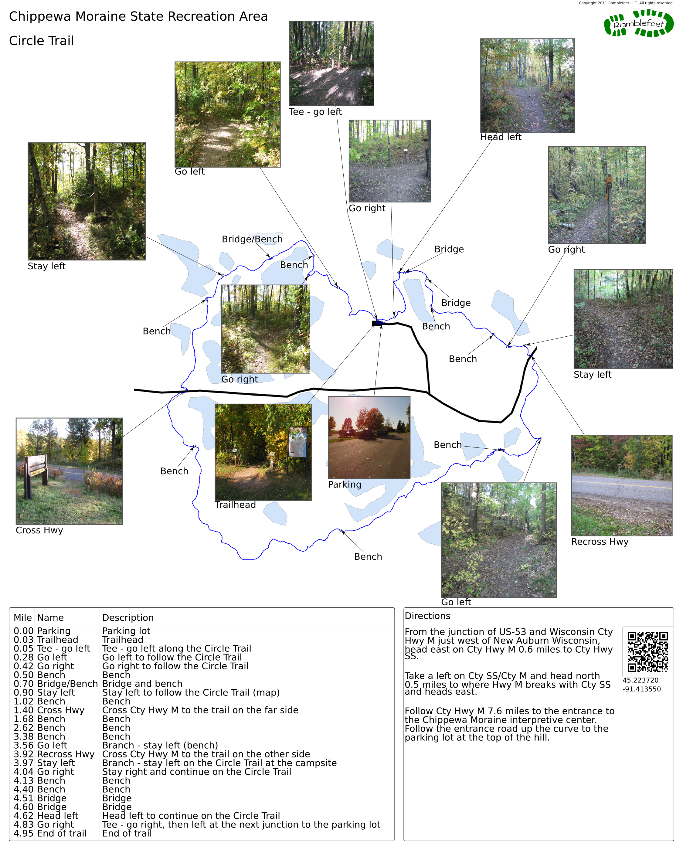
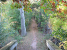
- The Circle Trail leaves directly from the parking lot between a large ice age trail map and a brochure stand. Almost immediately after leaving the parking lot the trail comes to a tee. Head left to start along the Circle Trail.
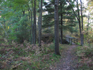
All of the junctions have excellent signs, and the trail is in great shape. This is an easy trail to follow. - Trail statistics
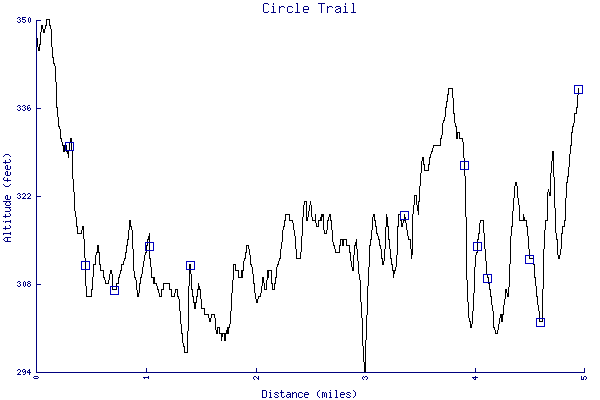
- The trail is 4.95 miles long. The sum of all the uphill climbs is 319 feet.
- Trail waypoints
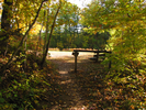
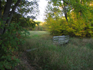
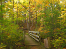
0.00 mi Parking Parking lot 0.03 mi Trailhead Trailhead 0.05 mi Tee - go left Tee - go left along the Circle Trail 0.28 mi Go left Go left to follow the Circle Trail 0.42 mi Go right Go right to follow the Circle Trail 0.50 mi Bench Bench 0.70 mi Bridge/Bench Bridge and bench 0.90 mi Stay left Stay left to follow the Circle Trail (map) 1.02 mi Bench Bench 1.40 mi Cross Hwy Cross Cty Hwy M to the trail on the far side 1.68 mi Bench Bench 2.62 mi Bench Bench 3.38 mi Bench Bench 3.56 mi Go left Branch - stay left (bench) 3.92 mi Recross Hwy Cross Cty Hwy M to the trail on the other side 3.97 mi Stay left Branch - stay left on the Circle Trail at the campsite 4.04 mi Go right Stay right and continue on the Circle Trail 4.13 mi Bench Bench 4.40 mi Bench Bench 4.51 mi Bridge Bridge 4.60 mi Bridge Bridge 4.62 mi Head left Head left to continue on the Circle Trail 4.83 mi Go right Tee - go right, then left at the next junction to the parking lot 4.95 mi End of trail End of trail
- Keywords
- Difficulty: Easy
- Terrain: Hilly
- Trail surface: Dirt
- Trail surface: Gravel
- Type: Loop
- View: Enclosed
- View: Shoreline
- View: Wooded
- County: Chippewa
- State: Wisconsin
- Country: United States of America
- Resources
- Printable trail map in PDF format (35 Mb download)
- Printable trail map in PNG format (4 Mb download)
- Waypoints in CSV format
- Waypoints in KML format
- Instructions on using a trail description page
- Instructions on using a trail map printout
- Trails in the surrounding area
- Trailheads for Minnesota and Wisconsin (5 additional trails)
- Trailheads for Michigan Minnesota, and Wisconsin (No additional trails)
- Trailheads for Iowa Minnesota, and Wisconsin (10 additional trails)
- Trailheads for Iowa Michigan, Minnesota, and Wisconsin (4 additional trails)
Copyright © 2011 RambleFeet LLC. All rights reserved.