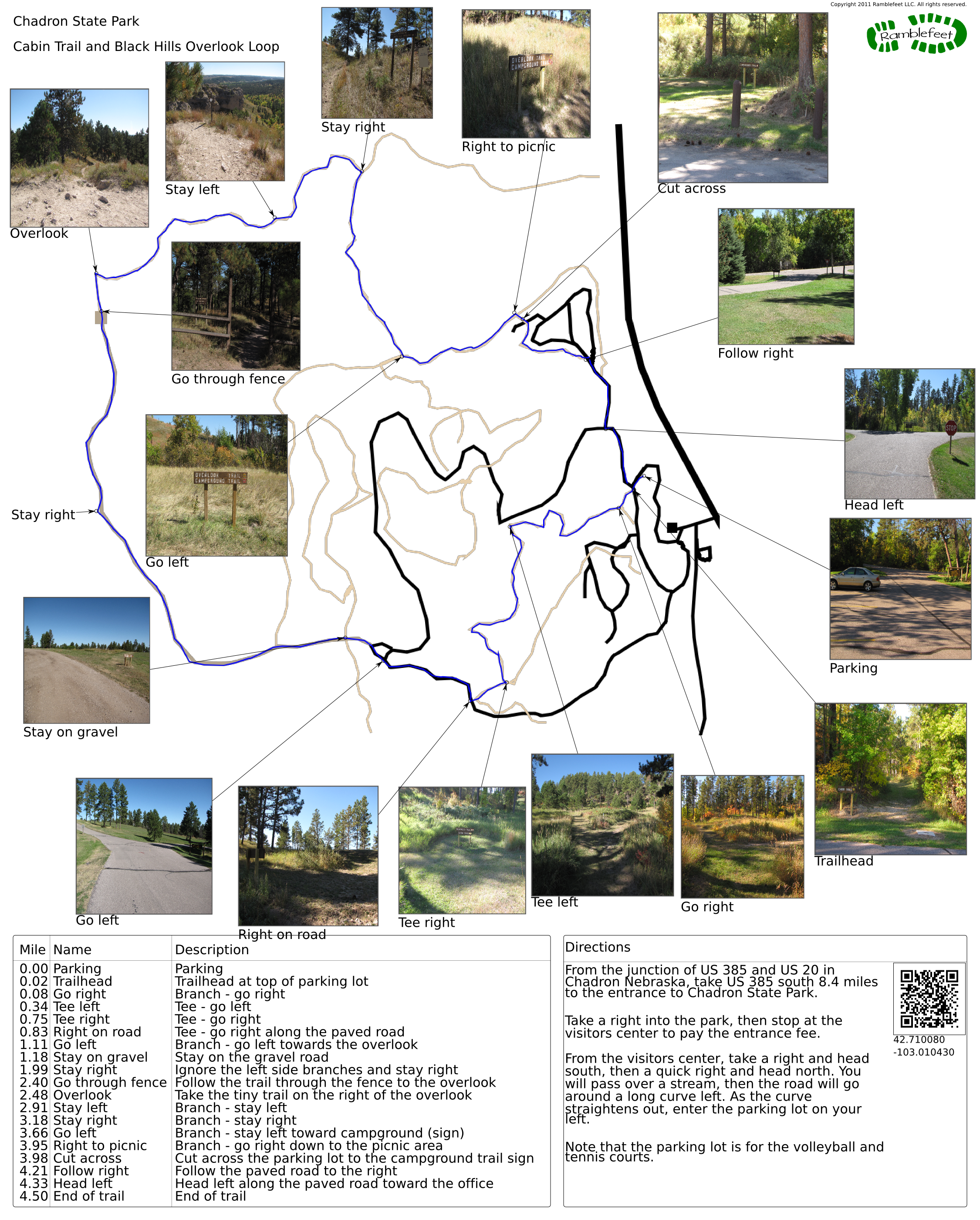
Chadron State Park
Cabin Trail and Black Hills Overlook Loop
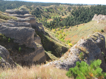
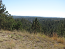
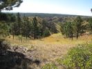
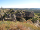
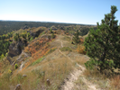
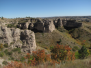
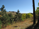
Chadron State park is beautiful - tall pine forests, huge hills, and starkly scenic badlands. Walking through the forest is peaceful and quiet, and exploring the badlands is always an amazing experience.
It's a bit hard finding a single trail that explores all that Chadron State Park has to offer, and I'm not entirely sure the trail I'm documenting is the best that can be achieved as it requires a couple of walks along paved roads.
Regardless, I really enjoyed this hike, and have every intention of doing it again.
- Approach
-
From the junction of US 385 and US 20 in Chadron Nebraska, take US 385 south 8.4 miles to the entrance to Chadron State Park.
Take a right into the park, then stop at the visitors center to pay the entrance fee.
From the visitors center, take a right and head south, then a quick right and head north. You will pass over a stream, then the road will go around a long curve left. As the curve straightens out, enter the parking lot on your left.
Note that the parking lot is for the volleyball and tennis courts.
Coordinates for the hike: 42.7100800,-103.0104300
- Parking / Trailhead amenities
- The paved parking lot is level and large. There is a building with toilets and running water near the parking lot.
- Trail observations
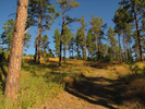
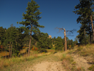
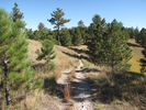
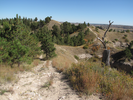
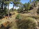
- The trail exits on the uphill side of the parking lot. For a while the trail is wide and well maintained, with lots of moderately steep climbs and a few descents.
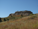
To get to the Black Hills Overlook, you'll need to walk along a paved road for a ways, then along a gravel road. Both give good views of the area as you walk.
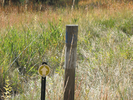
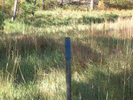
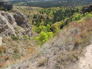
From the overlook the trail suddenly turns to a narrow rough track that skirts the badlands. There are a couple of volunteer trails, and it's a little hard to follow the correct trail. Keep an eye out for the reflective yellow arrow signposts and you'll make it through.
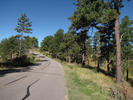
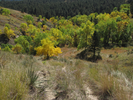
After the badlands the trail descends through a grassland into a short wooded canyon, then traverses the campground area and returns to the parking lot via a short stretch of paved road. - Trail statistics
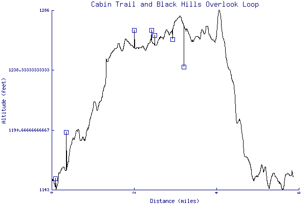
- The trail is 5.86 miles long. The sum of all the uphill climbs is 292 feet.
- Trail waypoints
0.00 mi Parking Parking 0.02 mi Trailhead Trailhead at top of parking lot 0.08 mi Go right Branch - go right 0.34 mi Tee left Tee - go left 0.75 mi Tee right Tee - go right 0.83 mi Right on road Tee - go right along the paved road 1.11 mi Go left Branch - go left towards the overlook 1.18 mi Stay on gravel Stay on the gravel road 1.99 mi Stay right Ignore the left side branches and stay right 2.40 mi Go through fence Follow the trail through the fence to the overlook 2.48 mi Overlook Take the tiny trail on the right of the overlook 2.91 mi Stay left Branch - stay left 3.18 mi Stay right Branch - stay right 3.66 mi Go left Branch - stay left toward campground (sign) 3.95 mi Right to picnic Branch - go right down to the picnic area 3.98 mi Cut across Cut across the parking lot to the campground trail sign 4.21 mi Follow right Follow the paved road to the right 4.33 mi Head left Head left along the paved road toward the office 4.50 mi End of trail End of trail


- Keywords
- Difficulty: Easy
- Difficulty: Moderate
- Terrain: Badlands
- Terrain: Hilly
- Trail surface: Dirt
- Trail surface: Grassy
- Trail surface: Gravel
- Trail surface: Paved
- Type: Loop
- View: Open
- View: Overlooks
- View: Wooded
- County: Dawes County
- State: Nebraska
- Country: United States of America
- Resources
- Printable trail map in PDF format (45 Mb download)
- Printable trail map in PNG format (4 Mb download)
- Waypoints in CSV format
- Waypoints in KML format
- Instructions on using a trail description page
- Instructions on using a trail map printout
- Trails in the surrounding area
- Trailheads for Nebraska South Dakota, and Wyoming (3 additional trails)
- Trailheads for Nebraska South Dakota, and Wyoming (6 additional trails)
- Trailheads for Colorado Nebraska, South Dakota, and Wyoming (1 additional trail)
- Trailheads for Colorado Nebraska, South Dakota, and Wyoming (No additional trails)
Copyright © 2011 RambleFeet LLC. All rights reserved.