Cascade River State Park
Hiking Club Trail

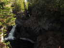
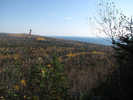
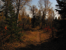
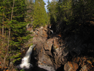
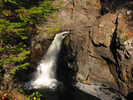
The Hiking Club Trail in Cascade River State Park follows the Cascade River past several waterfalls, then climbs to the top of Lookout Mountain for some long views of the Sawtooth Mountains and Lake Superior.
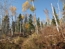
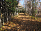
The river portion of the hike has great views of the tortuous path the river takes as it descends to the lake. The climb up and back down Lookout Mountain is peaceful and easy - a nice walk in a pleasant forest.
- Approach
-
From the junction of W. 8th Ave. and Hwy 61 in Grand Marais Minnesota, take Hwy 61 southeast 8.3 miles to the entrance to Cascade River State Park.
Take a right to enter the park, then follow the park road 0.9 miles to the trail center parking lot.
There is an entrance station just after you enter the park where you can buy a pass to hike in the park.
Coordinates for the hike: 47.7091270,-90.5212060
- Parking / Trailhead amenities
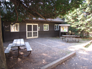
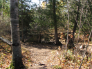
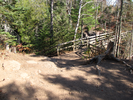
- The dirt parking lot is level and has room for a half dozen cars or so. There is a clean pit toilet a short ways away and a trail center adjacent to the parking lot.
- Trail observations
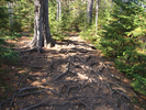
- The trail exits the parking lot across from the trail center.
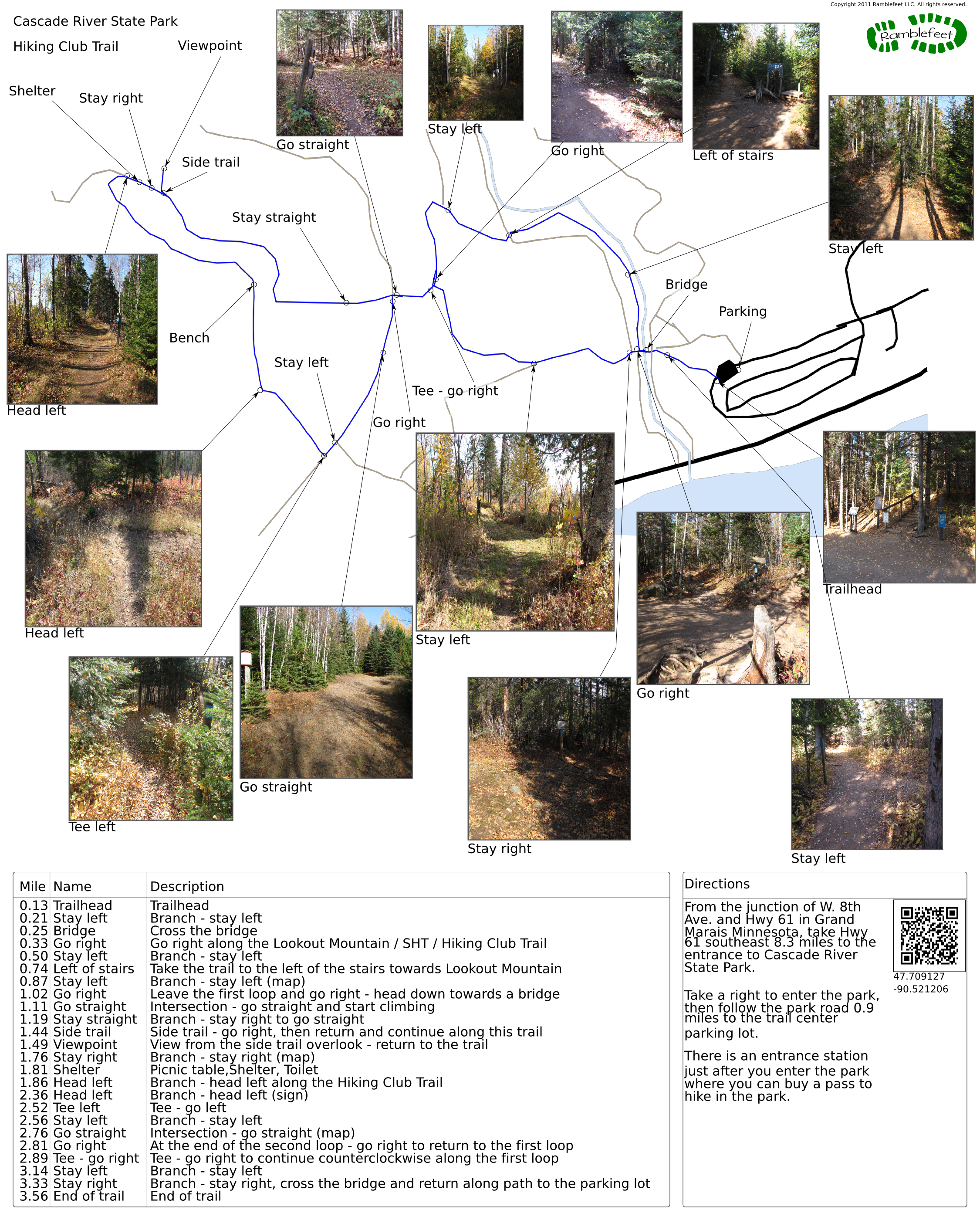
The trail is a pair of lollipops - you'll walk the stem, then do half of the first loop counterclockwise, walk a second stem, then follow a big loop counterclockwise, retrace the second stem, finish the first loop, then retrace the first stem back to the parking lot.
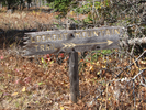
Be sure to follow the Hiking Club Trail signs - the trail is well marked, though sometimes the Hiking Club Trail signs seem to be pointing down unlikely paths. Trust them - they worked for me! - Trail statistics
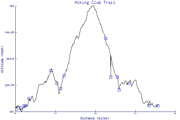
- The trail is 3.56 miles long. The sum of all the uphill climbs is 272 feet.
- Trail waypoints
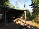
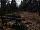
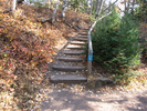
0.03 mi Parking Parking lot 0.13 mi Trailhead Trailhead 0.21 mi Stay left Branch - stay left 0.25 mi Bridge Cross the bridge 0.33 mi Go right Go right along the Lookout Mountain / SHT / Hiking Club Trail 0.50 mi Stay left Branch - stay left 0.74 mi Left of stairs Take the trail to the left of the stairs towards Lookout Mountain 0.87 mi Stay left Branch - stay left (map) 1.02 mi Go right Leave the first loop and go right - head down towards a bridge 1.11 mi Go straight Intersection - go straight and start climbing 1.19 mi Stay straight Branch - stay right to go straight 1.44 mi Side trail Side trail - go right, then return and continue along this trail 1.49 mi Viewpoint View from the side trail overlook - return to the trail 1.76 mi Stay right Branch - stay right (map) 1.81 mi Shelter Picnic table,Shelter, Toilet 1.86 mi Head left Branch - head left along the Hiking Club Trail 2.23 mi Bench Bench 2.36 mi Head left Branch - head left (sign) 2.52 mi Tee left Tee - go left 2.56 mi Stay left Branch - stay left 2.76 mi Go straight Intersection - go straight (map) 2.81 mi Go right At the end of the second loop - go right to return to the first loop 2.89 mi Tee - go right Tee - go right to continue counterclockwise along the first loop 3.14 mi Stay left Branch - stay left 3.33 mi Stay right Branch - stay right, cross the bridge and return along path to the parking lot 3.56 mi End of trail End of trail


- Keywords
- Difficulty: Easy
- Difficulty: Moderate
- Terrain: Hilly
- Trail surface: Dirt
- Trail surface: Grassy
- Type: Multiple lollipops
- View: Enclosed
- View: Overlooks
- View: Shoreline
- View: Wooded
- County:
- State:
- Country:
- Resources
- Printable trail map in PDF format (42 Mb download)
- Printable trail map in PNG format (5 Mb download)
- Waypoints in CSV format
- Waypoints in KML format
- Instructions on using a trail description page
- Instructions on using a trail map printout
- Trails in the surrounding area
- Trailheads for Michigan and Minnesota (1 additional trail)
- Trailheads for Michigan Minnesota, and Wisconsin (4 additional trails)
- Trailheads for Michigan Minnesota, and Wisconsin (No additional trails)
Copyright © 2011 RambleFeet LLC. All rights reserved.