Berea College Forest
Indian Fort Trail
Fort Trail was a pleasant surprise for me. On a long drive southeast, heading to the Blue Ridge with my son, we needed a place to stretch our legs and stumbled on Berea College Forest. We didn't really have a trail destination in mind, we simply followed signs and went uphill when given an ascending trail.
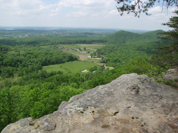
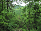
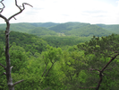
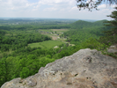
When finally we reached the Lookout, we were wonderfully surprised at the expansive views of rolling wooded hills and deep valleys. Following the trail along the top of the cliff brought vistas of farms in a valley far below, and deep hollows undercutting the trail we were walking on.
This was a thoroughly enjoyable hike, and I highly recommend it.
- Approach
-
From the intersection of I75 and KY-21 west of Berea Kentucky, go east on Hwy 21 4.5 miles to the parking lot on your left.
Note that as you drive along Hwy 21, the road will be Chestnut street for the first 1.4 miles as you enter Berea, then you will take a right turn to stay on Hwy 21, and the name will change to Prospect St.
Still staying on Hwy 21, Prospect St. will turn into Big Hill Rd. after 1.1 miles, and 2.0 after that point, you will reach the parking lot.
Coordinates for the hike: 37.5542620,-84.2408250
- Parking / Trailhead amenities
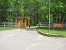
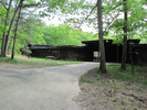
- The parking lot is gravel covered and a bit tilted. There is an enormous amount of room available for parking. I did not see any services available near the parking lot, though there was a building that may have been an information center.
- Trail observations
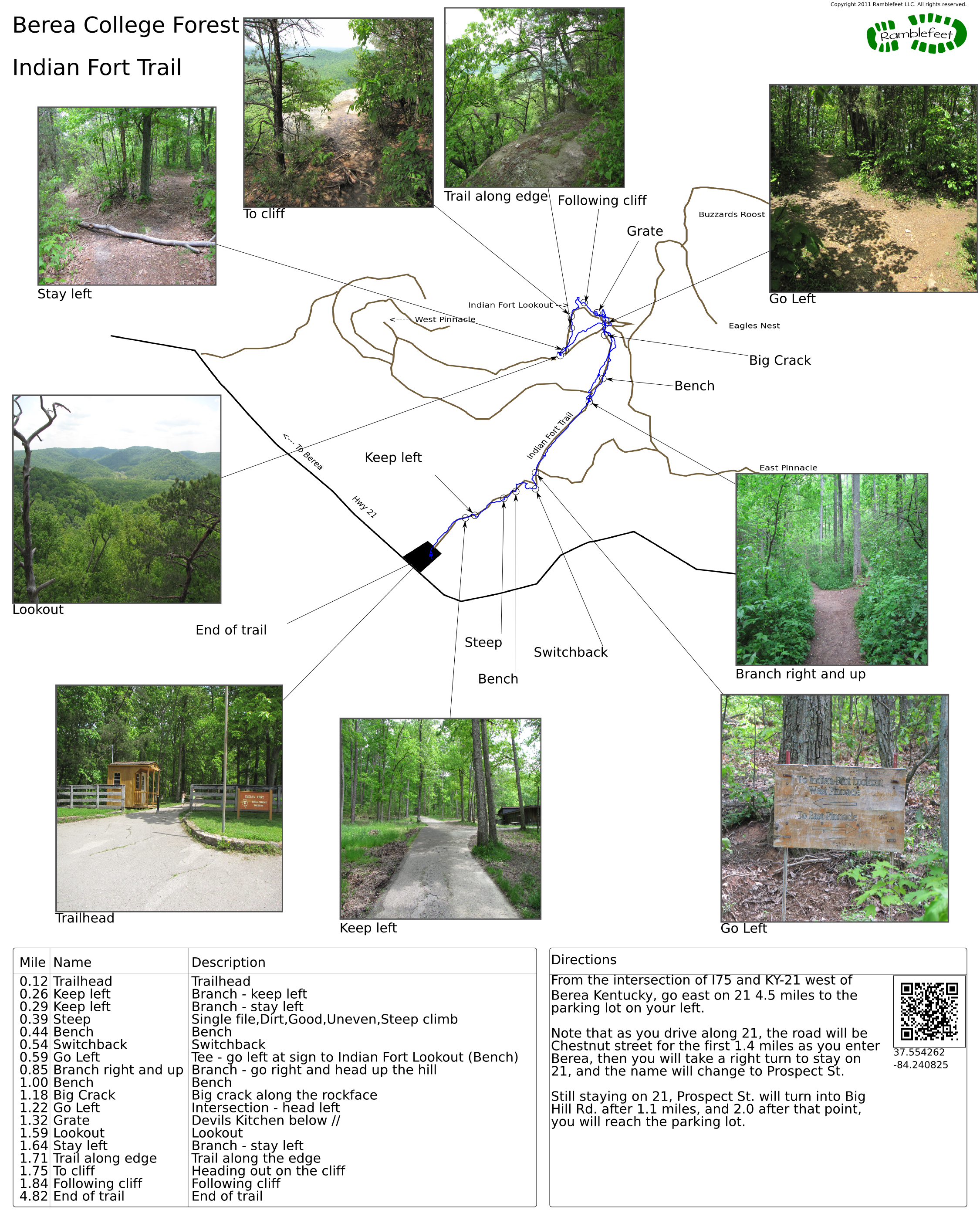
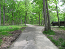
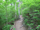
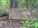
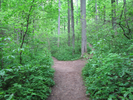
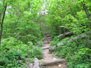
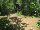
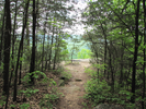
- The trail exits the parking lot on the uphill side, along a paved path through a gate in a fence, just to the right of a small wooden building with a tiny fenced in porch. The trail is paved for a short ways, then it turns to dirt and starts to ascend, pretty much climbing or staying level till you reach the lookout.
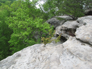
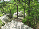
This is a moderately hard hike with no water or services along the trail. There are several exposed cliff edges - if you are hiking with children, you will want to keep them close at hand. - Trail statistics
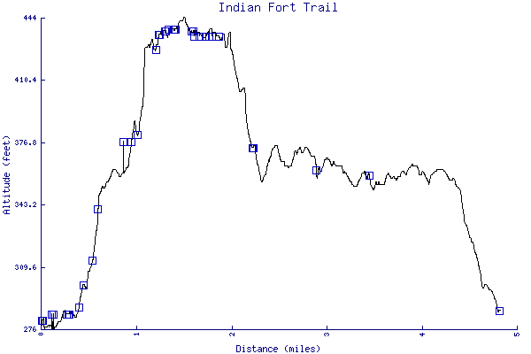
- The trail is 2.19 miles long. The sum of all the uphill climbs is 132 feet.
- Trail waypoints
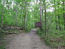
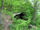
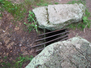
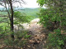
0.12 mi Trailhead Trailhead 0.26 mi Keep left Branch - keep left 0.29 mi Keep left Branch - stay left 0.39 mi Steep Single file,Dirt,Good,Uneven,Steep climb 0.44 mi Bench Bench 0.54 mi Switchback Switchback 0.59 mi Go Left Tee - go left at sign to Indian Fort Lookout (Bench) 0.85 mi Branch right and up Branch - go right and head up the hill 1.00 mi Bench Bench 1.18 mi Big Crack Big crack along the rockface 1.22 mi Go Left Intersection - head left 1.32 mi Grate Devils Kitchen below 1.59 mi Lookout Lookout 1.64 mi Stay left Branch - stay left 1.71 mi Trail along edge Trail along the edge 1.75 mi To cliff Heading out on the cliff 1.84 mi Following cliff Following cliff 4.82 mi End of trail End of trail


- Keywords
- Difficulty: Moderate
- Terrain : Mountainous
- Trail surface: Dirt
- Trail surface: Paved
- Type: Out-and-back
- View: Enclosed
- View: Open
- View: Wooded
- County: Madison
- State: Kentucky
- Country: United States of America
- Resources
- Printable trail map in PDF format (25 Mb download)
- Printable trail map in PNG format (5 Mb download)
- Waypoints in CSV format
- Waypoints in KML format
- Instructions on using a trail description page
- Instructions on using a trail map printout
- Trails in the surrounding area
- Area map for Indiana, Kentucky, Ohio, Tennessee, and Virginia (No additional trails)
- Area map for Kentucky, North Carolina, Ohio, Tennessee, Virginia, and West Virginia (No additional trails)
- Area map for Alabama, Georgia, Kentucky, North Carolina, South Carolina, and Tennessee (No additional trails)
- Area map for Georgia, Kentucky, North Carolina, South Carolina, Tennessee, Virginia, and West Virginia (No additional trails)
Copyright © 2011 RambleFeet LLC. All rights reserved.