Badlands National Park
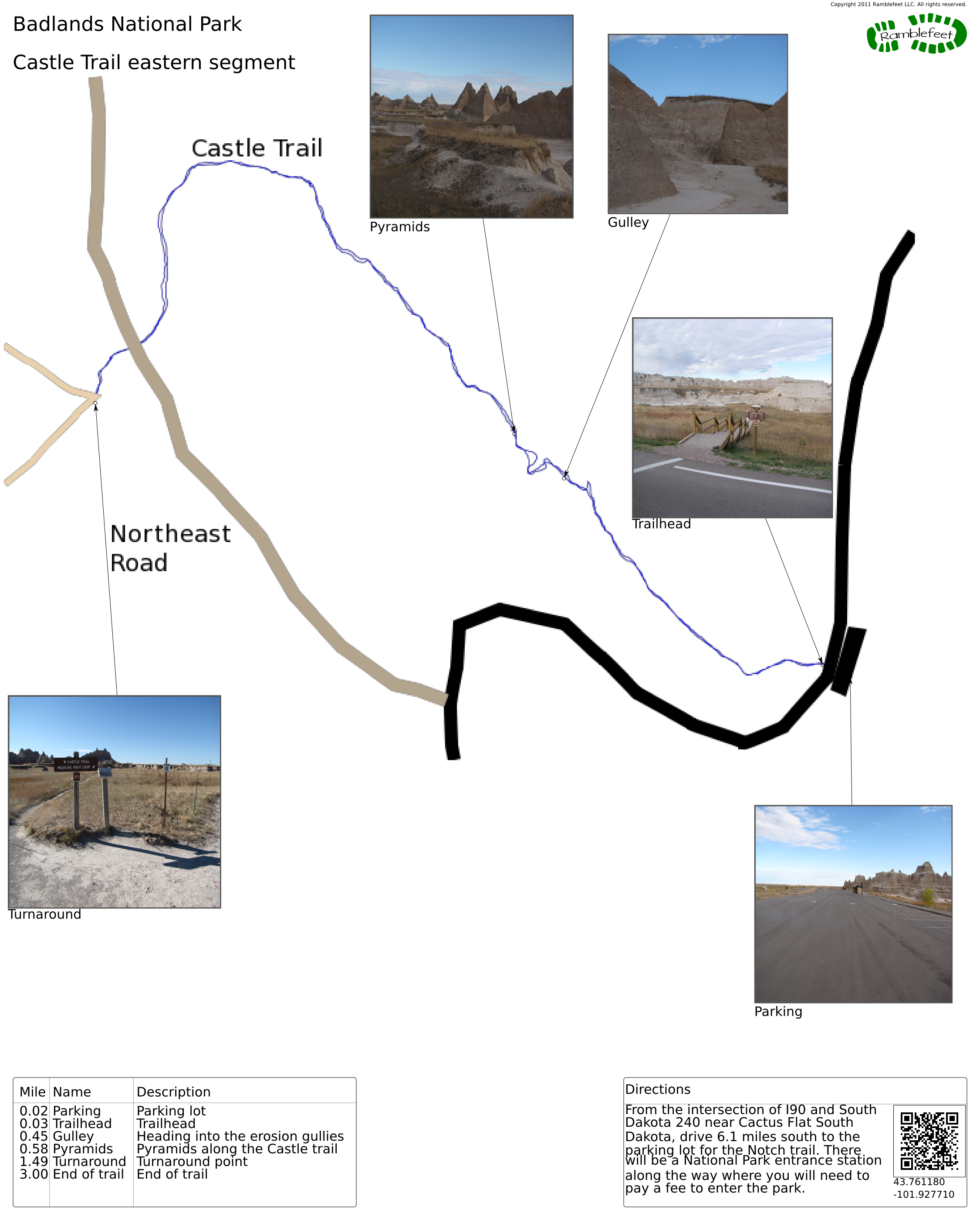
Castle Trail eastern segment
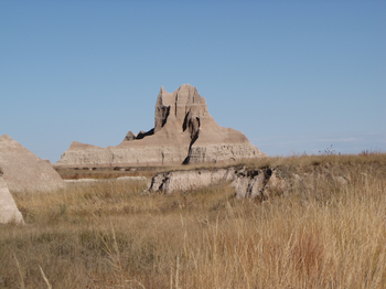
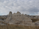
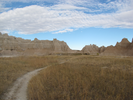
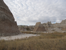
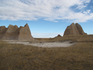
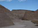
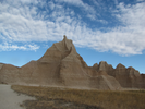
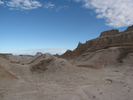
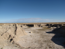
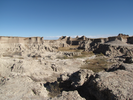
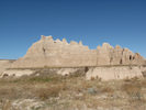
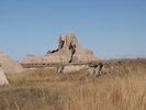
The eastern segment of the Castle Trail is an easy and fun out and back hike that gives long views of the grass and table lands, and close up views of the spires, gullies, ravines and other features of the Badlands.
- Approach
-
From the intersection of I90 and South Dakota 240 near Cactus Flat South Dakota, drive 6.1 miles south to the parking lot for the Notch trail. There will be a National Park entrance station along the way where you will need to pay a fee to enter the park.
Coordinates for the hike: 43.7611800,-101.9277100
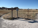
- Parking / Trailhead amenities
- The paved parking lot is enormous. There is a clean pit toilet in the parking lot and an informational kiosk. The parking lot provides access to four different trails - Notch, Window, Door, and Castle. Window and Door are short easy trails. Notch is moderately difficult, and Castle is an out and back.
- Trail observations
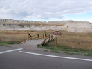
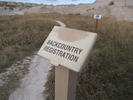
- The trail starts across the road from the parking lot via a stairway that descends to an informational kiosk and trail register.
The trail is the easternmost of three segments of the Castle Valley trail. This hike is an easy hike out to the junction with the Medicine Root trail and then a return along the same path to the parking lot.
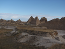
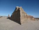
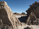
The views on this hike are excellent, and there is a fun little section where the trail follows a sinuous erosion gulley that is my personal favorite portion of this hike. - Trail statistics
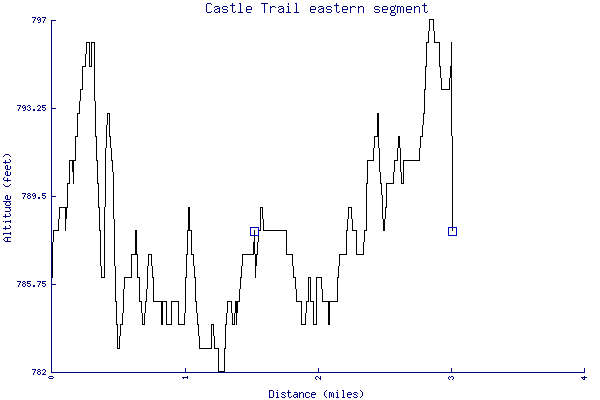
- The trail is 3.00 miles long. The sum of all the uphill climbs is 65 feet.
- Trail waypoints
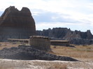
0.02 mi Parking Parking lot 0.03 mi Trailhead Trailhead 0.45 mi Gulley Heading into the erosion gullies 0.58 mi Pyramids Pyramids along the Castle trail 1.49 mi Turnaround Turnaround point 3.00 mi End of trail End of trail
- Keywords
- Difficulty: Easy
- Terrain: Badlands
- Trail surface: Dirt
- Type: Out-and-back
- View: Open
- County:
- State: South Dakota
- Country: United States of America
- Resources
- Printable trail map in PDF format (7 Mb download)
- Printable trail map in PNG format (2 Mb download)
- Waypoints in CSV format
- Waypoints in KML format
- Instructions on using a trail description page
- Instructions on using a trail map printout
- Trails in the surrounding area
- Trailheads for Montana North Dakota, South Dakota, and Wyoming (2 additional trails)
- Trailheads for North Dakota and South Dakota (2 additional trails)
- Trailheads for Nebraska South Dakota, and Wyoming (2 additional trails)
- Trailheads for Nebraska and South Dakota (2 additional trails)
Copyright © 2011 RambleFeet LLC. All rights reserved.