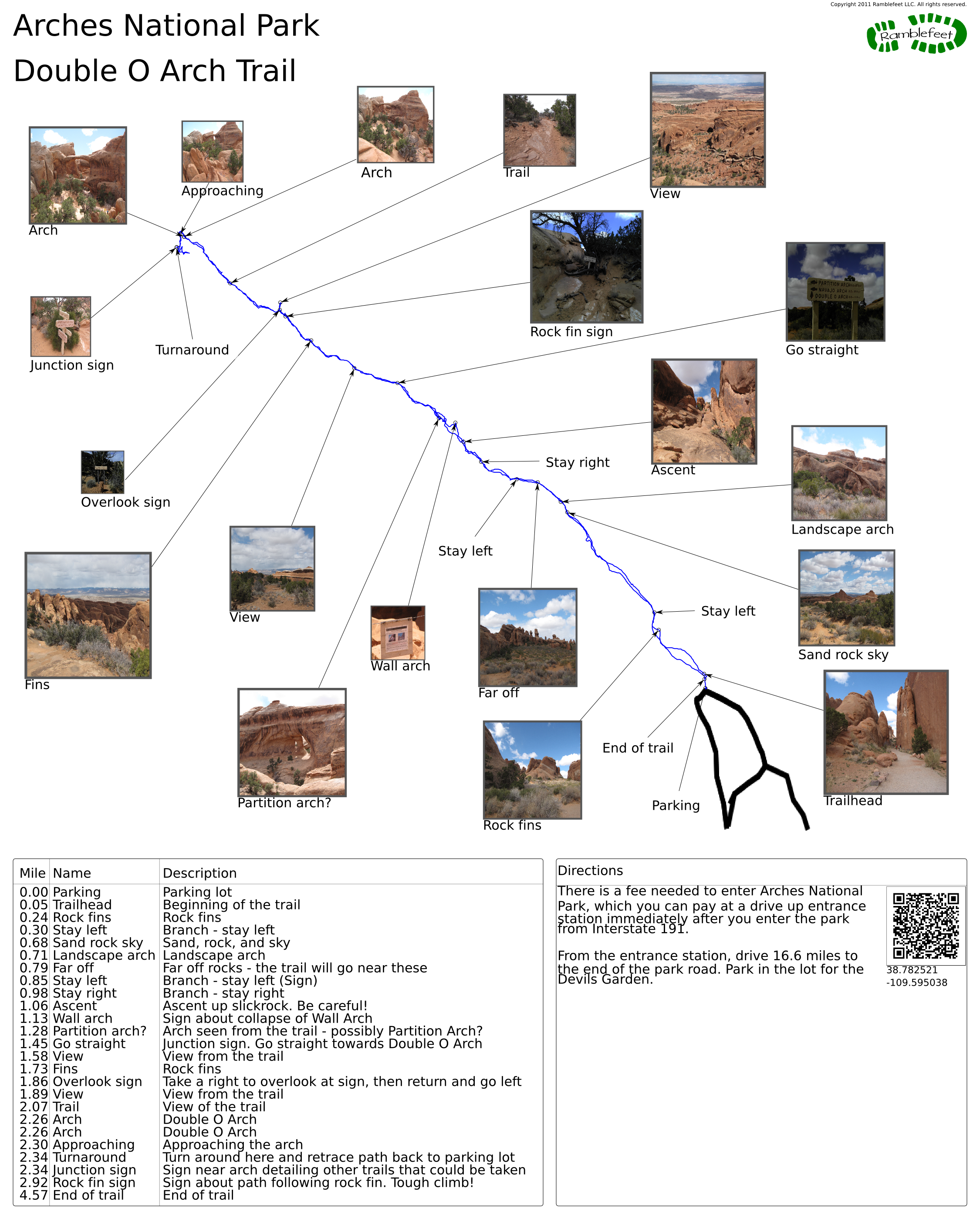
Arches National Park
Double O Arch Trail
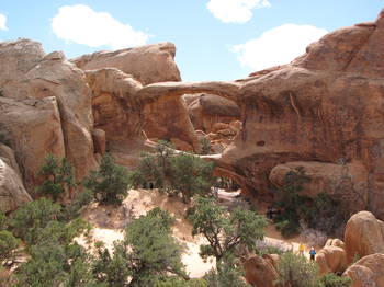
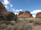
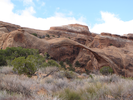
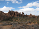
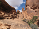
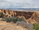
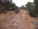
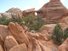
The Double O Arch trail is both beautiful and challenging. The trail works it's way across drifts of sand and then climbs and traverses the large fins of sandstone that fill the landscape. There is a section where the trail walks across one of the fins, a sidewalk wide path with significant drops on both sides.
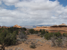
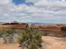
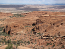
At all times the views are spectacular. Take your time on this hike.
- Approach
-
There is a fee needed to enter Arches National Park, which you can pay at a drive up entrance station immediately after you enter the park from Interstate 191.
From the entrance station, drive 16.6 miles to the end of the park road. Park in the lot for the Devils Garden.
Coordinates for the hike: 38.7825210,-109.5950380
- Parking / Trailhead amenities
- The parking lot is paved and has a fair number of parking spots. Unfortunately, the parking lot is often filled and you might need to park somewhere back along the loop or along the road.
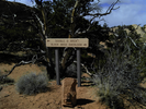
There are pit toilets and a trail sign at the trail head. This is a medium length hike that is mostly unshaded. It would be a very good idea to bring plenty of water. - Trail observations
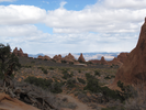
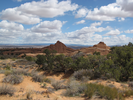
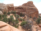
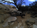
- The trail exits directly from the parking lot, just to the side of the toilets. The trail starts out with a dramatic passage between tall sandstone fins, then opens up, providing long views of the surrounding incredible terrain. After reaching Landscape Arch, the trail climbs up to the level of the tops of the fins and stays near that height till the end at Double O Arch.
Be sure to take the small side trail to Black Arch Overlook. The side trail is very short, and the overlook is a nice place to take a break and enjoy the quiet of the desert.
After reaching Double O Arch, retrace your path back to the parking lot. - Trail statistics
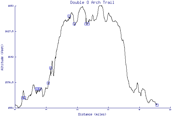
- The trail is 4.57 miles long. The sum of all the uphill climbs is 227 feet.
- Trail waypoints
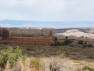
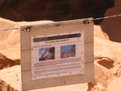
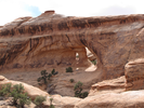
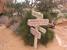
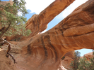
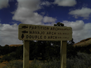
0.00 mi Parking Parking lot 0.05 mi Trailhead Beginning of the trail 0.24 mi Rock fins Rock fins 0.30 mi Stay left Branch - stay left 0.68 mi Sand rock sky Sand, rock, and sky 0.71 mi Landscape arch Landscape arch 0.79 mi Far off Far off rocks - the trail will go near these 0.85 mi Stay left Branch - stay left (Sign) 0.98 mi Stay right Branch - stay right 1.06 mi Ascent Ascent up slickrock. Be careful! 1.13 mi Wall arch Sign about collapse of Wall Arch 1.28 mi Partition arch? Arch seen from the trail - possibly Partition Arch? 1.45 mi Go straight Junction sign. Go straight towards Double O Arch 1.58 mi View View from the trail 1.73 mi Fins Rock fins 1.86 mi Overlook sign Take a right to overlook at sign, then return and go left 1.89 mi View View from the trail 2.07 mi Trail View of the trail 2.26 mi Arch Double O Arch 2.26 mi Arch Double O Arch 2.30 mi Approaching Approaching the arch 2.34 mi Turnaround Turn around here and retrace path back to parking lot 2.34 mi Junction sign Sign near arch detailing other trails that could be taken 2.92 mi Rock fin sign Sign about path following rock fin. Tough climb! 4.57 mi End of trail End of trail

- Keywords
- Difficulty: Moderate
- Terrain : Canyon
- Trail surface: Rocky
- Trail surface: Sand
- View: Open
- County: Grand
- State: Utah
- Country: United States of America
- Resources
- Printable trail map in PDF format (30 Mb download)
- Printable trail map in PNG format (2 Mb download)
- Waypoints in CSV format
- Waypoints in KML format
- Instructions on using a trail description page
- Instructions on using a trail map printout
- Trails in the surrounding area
- Area map for Colorado and Utah (4 additional trails)
- Area map for Colorado and Utah (4 additional trails)
Copyright © 2011 RambleFeet LLC. All rights reserved.