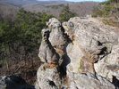
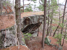
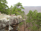
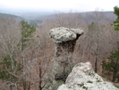
Pedestal Rocks
Kings Bluff and Pedestal Rocks Loop
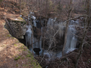
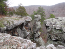
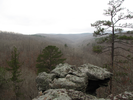
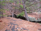
The two times I've hiked Kings Bluff and Pedestal Rocks, the weather has been lousy. I take voice notes as I hike, and as I listen to them now I hear my incredible enthusiasm about the strange and inspiring beauty of the place. It's too bad I wasn't able to capture that in my photos. It does however give me a reason to go back again and hope for better weather so I can get photos that really showcase the beauty.
In one of my voice notes I stated that this was a place you could spend days and days exploring - I think I'd like to take myself up on that.
- Approach
-
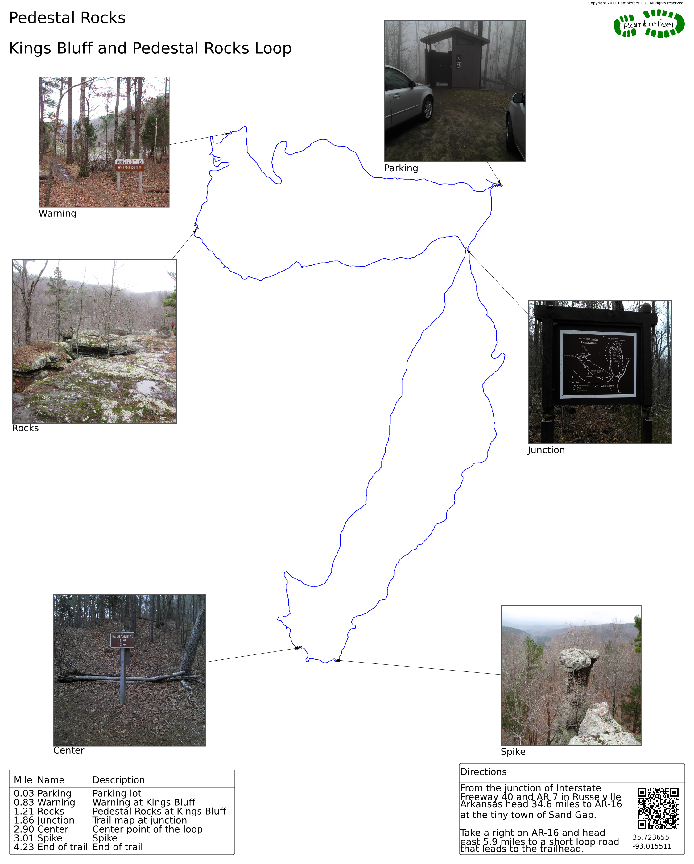
From the junction of Interstate Freeway 40 and AR 7 in Russelville Arkansas head 34.6 miles to AR-16 at the tiny town of Sand Gap.
Take a right on AR-16 and head east 5.9 miles to a short loop road that leads to the trailhead.
Coordinates for the hike: 35.7236550,-93.0155110
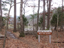
- Parking / Trailhead amenities
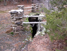
- The parking lot is dirt, and I would guess prone to being a bit mucky, though not excessively so. There is a pit toilet adjacent to the parking lot.
- Trail observations
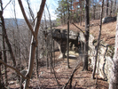
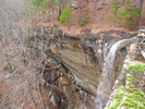
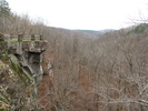
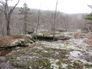
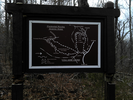
- The trailhead exits the parking lot via a bridge, then immediately branches. Take the right branch to Kings Bluff. This trail will loop down to the bluff, then intersect the Pedestal Rocks Loop - take a right and follow the Pedestal Rocks Loop till it returns to the parking lot.
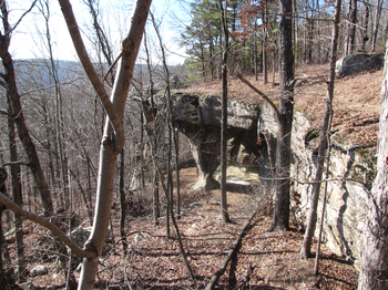
Note that there are many exposed cliffs, several of them quite high. Be careful! - Trail statistics
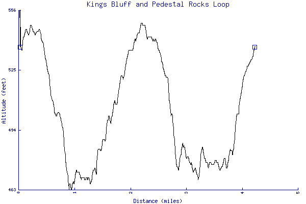
- The trail is 4.23 miles long. The sum of all the uphill climbs is 272 feet.
- Trail waypoints
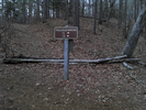
0.03 mi Parking Parking lot 0.83 mi Warning Warning at Kings Bluff 1.21 mi Rocks Pedestal Rocks at Kings Bluff 1.86 mi Junction Trail map at junction 2.90 mi Center Center point of the loop 3.01 mi Spike Spike 4.23 mi End of trail End of trail

- Keywords
- Difficulty: Easy
- Terrain : Mountainous
- Trail surface: Dirt
- Trail surface: Rock
- Type: Loop
- View: Overlook
- View: Wooded
- County: Pope
- State: Arkansas
- Country: United States of America
- Resources
- Printable trail map in PDF format (10 Mb download)
- Printable trail map in PNG format (3 Mb download)
- Waypoints in CSV format
- Waypoints in KML format
- Instructions on using a trail description page
- Instructions on using a trail map printout
- Trails in the surrounding area
- Trailheads for Arkansas Kansas, Missouri, and Oklahoma (No additional trails)
- Trailheads for Arkansas Illinois, Missouri, and Tennessee (No additional trails)
- Trailheads for Arkansas Missouri, and Oklahoma (1 additional trail)
- Trailheads for Arkansas Mississippi, Missouri, and Tennessee (1 additional trail)
Copyright © 2011 RambleFeet LLC. All rights reserved.