Blue Ridge Parkway
Graveyard Fields

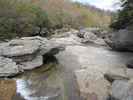
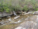
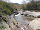
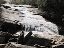
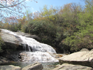
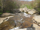
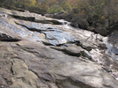
Graveyard Fields is an exploration of two waterfalls and the carved valley between them.
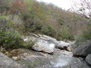
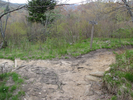
Each of the falls can be explored by climbing on the surrounding rocks. The lower falls was quite crowded as it's an easy walk from the parking lot. My son and I had the upper falls to ourselves and we lazed on the rocks in the late afternoon sun, listening to the burble of the falls and enjoying the warmth of stone.
- Approach
-
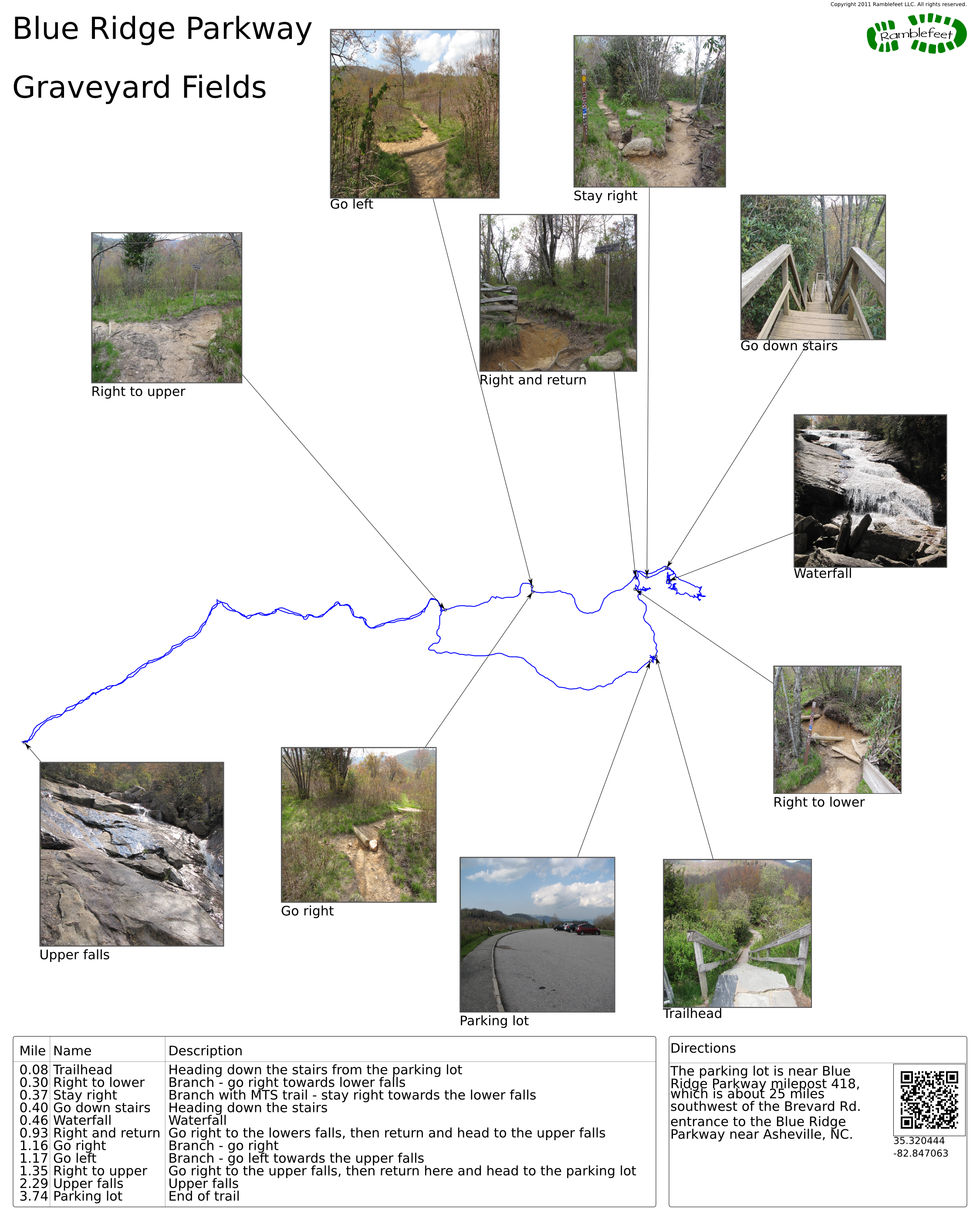
The parking lot is near Blue Ridge Parkway milepost 418, which is about 25 miles southwest of the Brevard Rd. entrance to the Blue Ridge Parkway near Asheville, NC.
Coordinates for the hike: 35.3204440,-82.8470630
- Parking / Trailhead amenities
- The parking lot is paved, smooth, and has lots of room for cars. There are no facilities near the parking the lot.
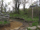
- Trail observations
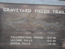
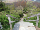
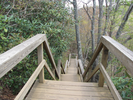
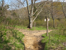
- The trail exits down a wooden stairway to the right of the center of the arc of the parking lot. There is a large wooden trailhead sign near the stairs.
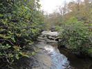
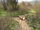
Head down the stairs, then descend along a paved path, crossing the Yellowstone river on a bridge. After the bridge, take a side trail right and head down another flight of wooden stairs to the bottom of the lower falls (called the second falls on the map in the parking lot).
You can play along the rocks at the bottom of the falls - my son and I had a good time rock hopping and exploring. From the bottom of the lower falls, reascend the staircase back to the branch, and take the trail heading to the upper falls.
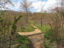
After about 0.6 miles you will reach another branch that leads to the parking lot - bypass this and continue on to the upper falls.
From the upper falls, retrace your steps back to the branch and from there head to the parking lot. - Trail statistics
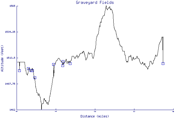
- The trail is 3.74 miles long. The sum of all the uphill climbs is 196 feet.
- Trail waypoints
0.08 mi Trailhead Heading down the stairs from the parking lot 0.30 mi Right to lower Branch - go right towards lower falls 0.37 mi Stay right Branch with MTS trail - stay right towards the lower falls 0.40 mi Go down stairs Heading down the stairs 0.46 mi Waterfall Waterfall 0.93 mi Right and return Go right to the lowers falls, then return and head to the upper falls 1.16 mi Go right Branch - go right 1.17 mi Go left Branch - go left towards the upper falls 1.35 mi Right to upper Go right to the upper falls, then return here and head to the parking lot 2.29 mi Upper falls Upper falls 3.74 mi Parking lot End of trail


- Keywords
- Difficulty: Easy
- Feature: Waterfall
- Terrain : Hilly
- Trail surface: Dirt
- Trail surface: Paved
- Type: Loop
- View: Open
- County: Haywood
- State: North Carolina
- Country: United States of America
- Links
- Blue Ridge Parkway.org. Great site for preparing to travel the Blue Ridge Parkway.
- Hike WNC site
- National Park Service site for the Blue Ridge Parkway
- PDF map of the Blue Ridge Parkway
- Resources
- Printable trail map in PDF format (29 Mb download)
- Printable trail map in PNG format (3 Mb download)
- Waypoints in CSV format
- Waypoints in KML format
- Instructions on using a trail description page
- Instructions on using a trail map printout
- Trails in the surrounding area
- Trailheads for Georgia Kentucky, North Carolina, South Carolina, Tennessee, Virginia, and West Virginia (1 additional trail)
- Trailheads for Georgia North Carolina, South Carolina, and Tennessee (No additional trails)
- Trailheads for Georgia North Carolina, South Carolina, and Tennessee (No additional trails)
Copyright © 2011 RambleFeet LLC. All rights reserved.